The approach
The approach: works, bank and drainage
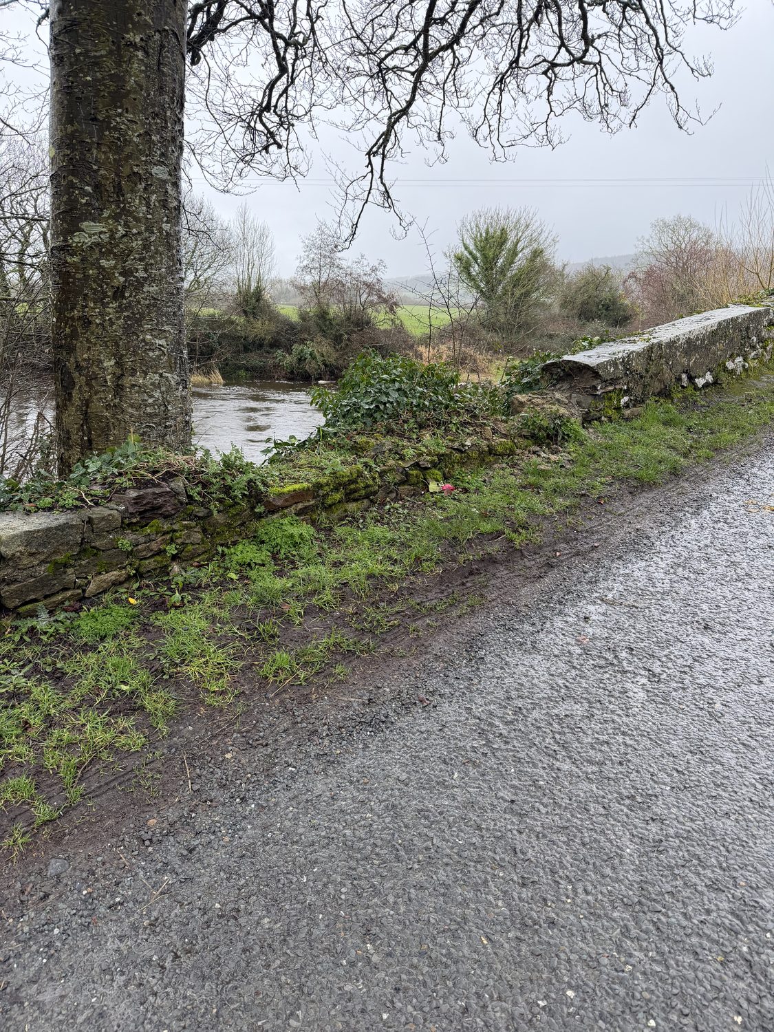
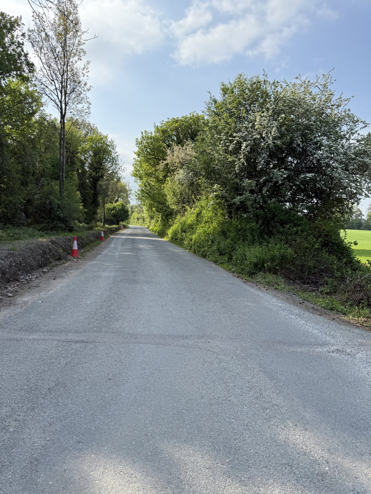
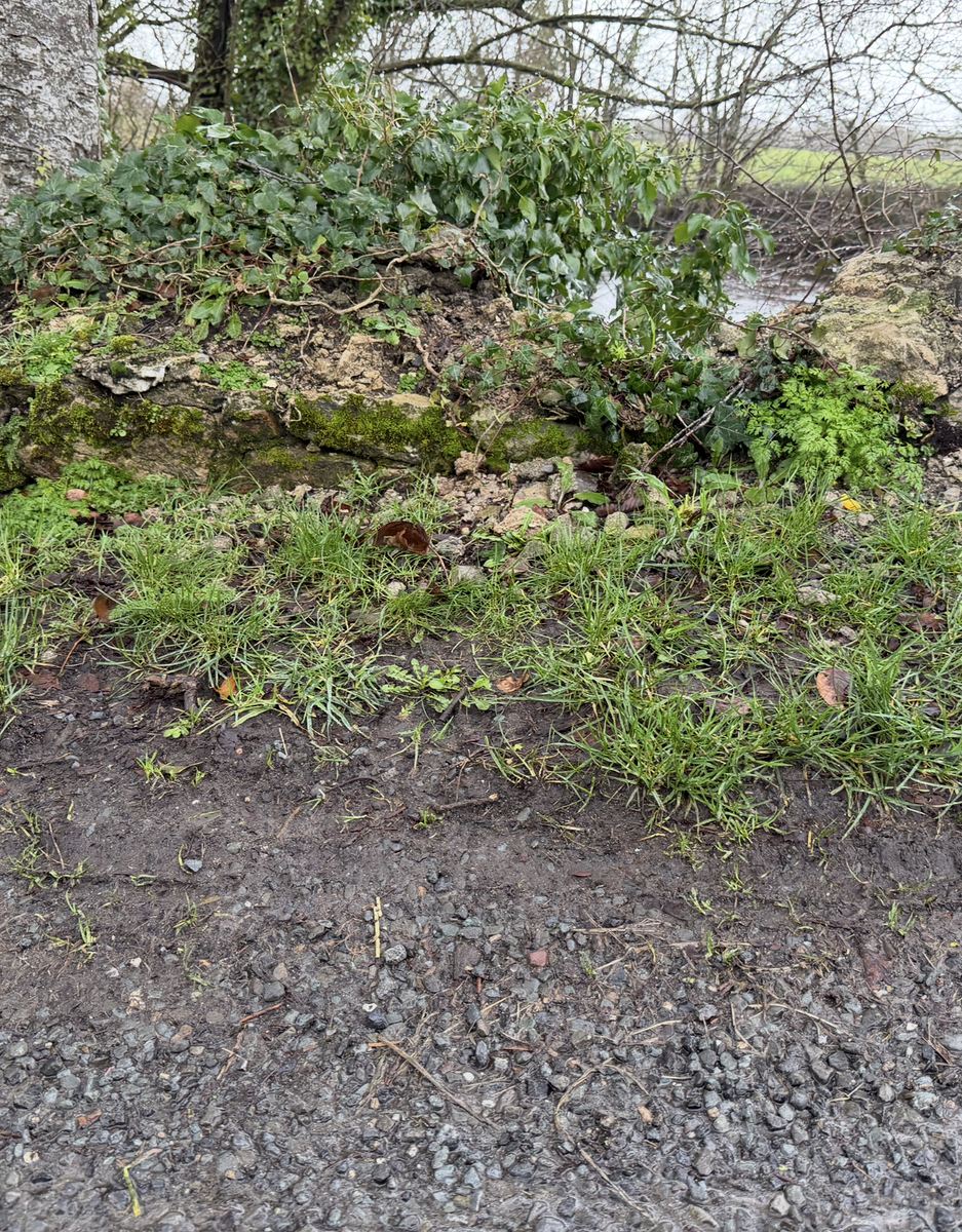
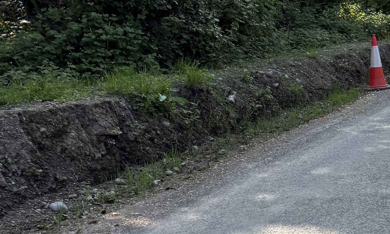
Dated views of the approach, a closer look at the bank, and the council’s written account. Family photographs from 1 May 2025 were taken seven days after the crash.
Read the deeper account of what Bronagh faced →
Related public reading: Weather and the bank · Council worksite safety · Loose soil beside roads
The same crossing, 2011 and 2024
Google Street View imagery of the same crossing, dated October 2011 and July 2024, provides a dated comparison of the visible approach.
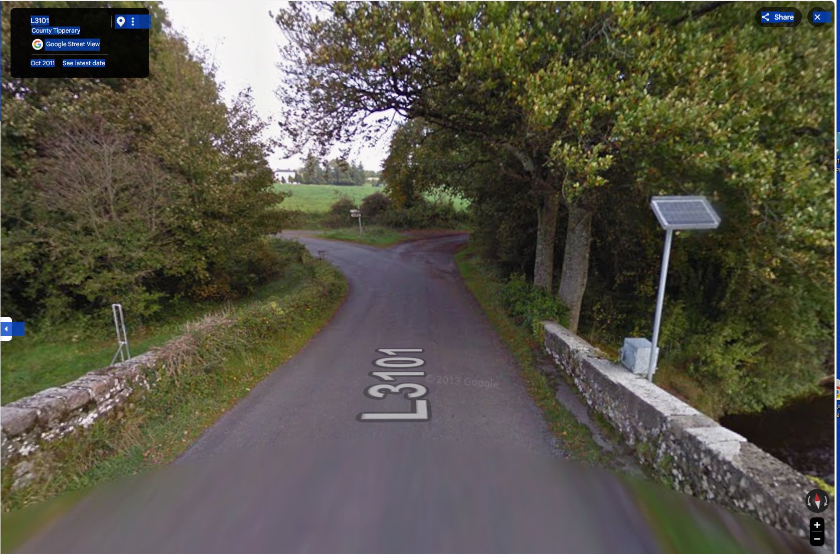
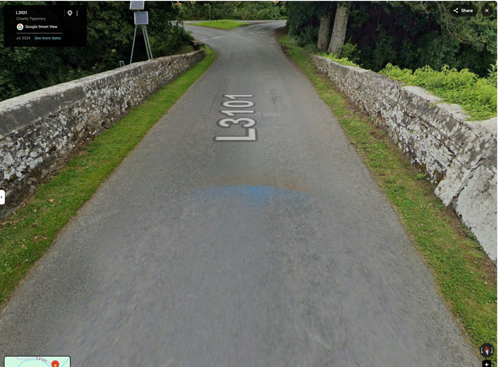
Beyond the bridge, the far side tells its own story: there, both parapet walls stand intact and capped, and the road continues without the sharp turn a driver meets on the approach where Bronagh’s car left the road.
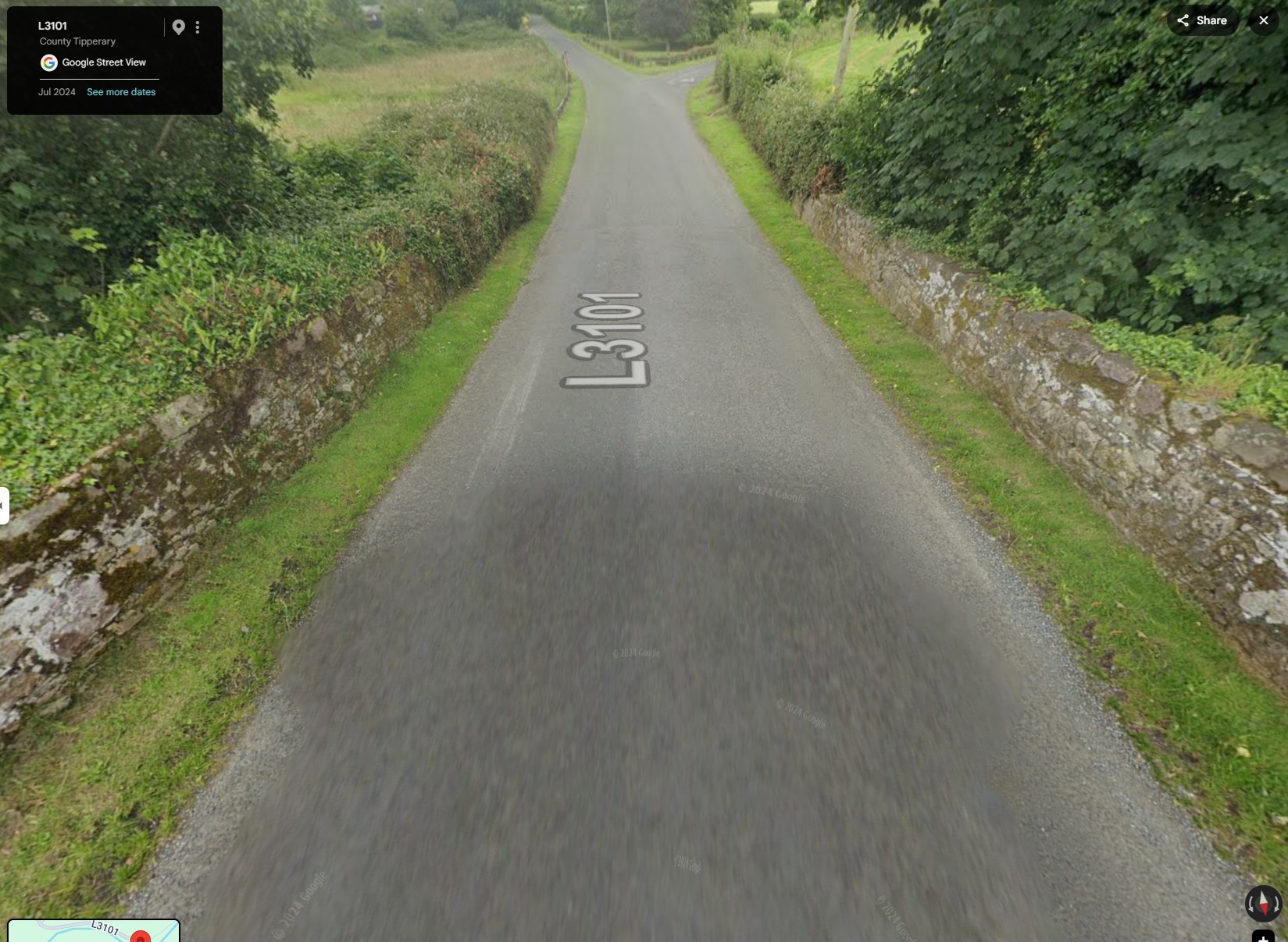
Google Street View imagery of the L3101 crossing at Killardry Bridge, dated October 2011 and July 2024 (Google’s own capture dates). These views do not by themselves establish the dates or scope of council work at this bank.
The bank along the approach — and why it matters
Along the approach to the bridge, the family’s 1 May 2025 photographs show a raised roadside earth verge between the carriageway and the ditch. They were taken after the crash and are GPS-tagged at the site.
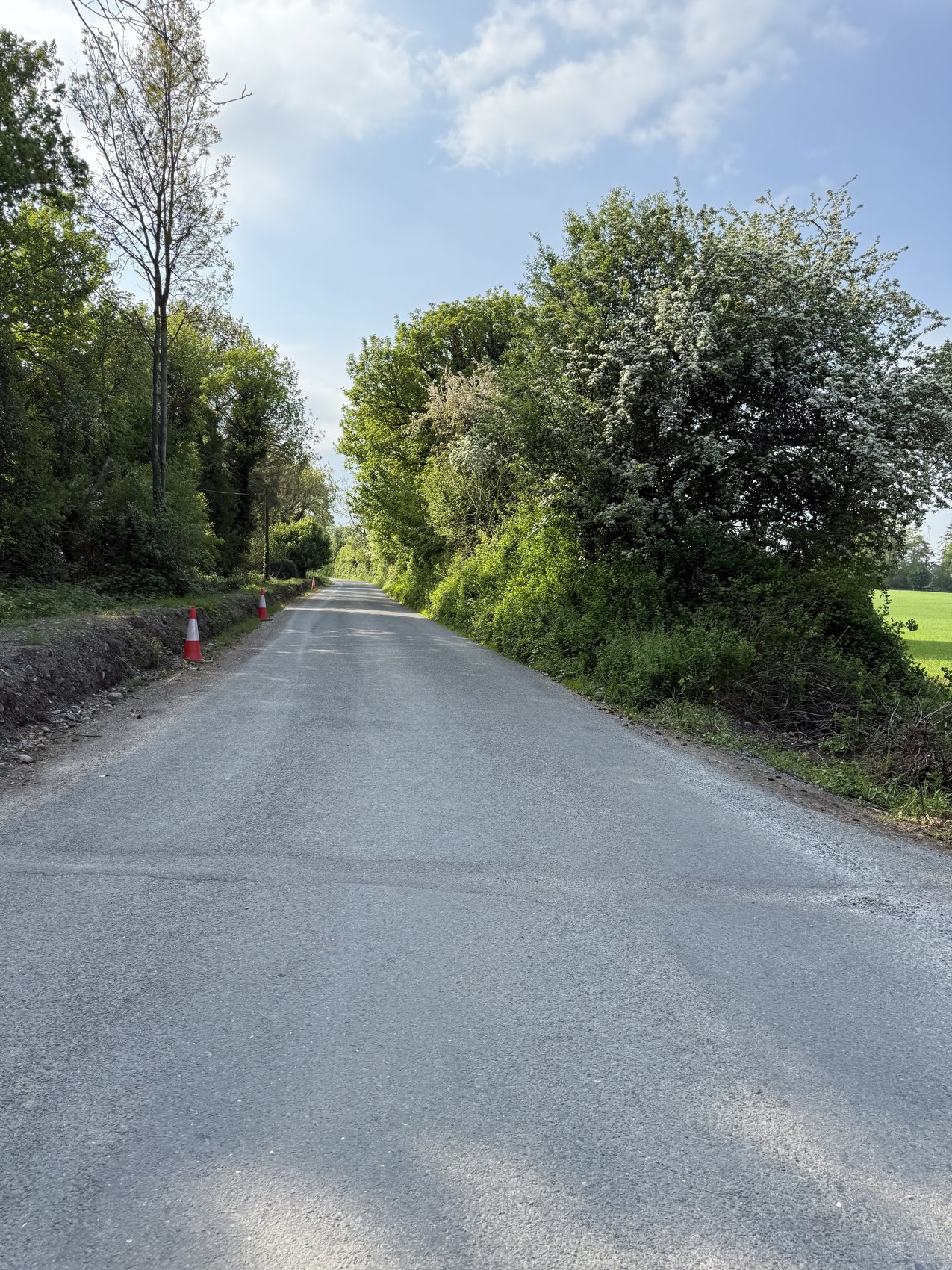
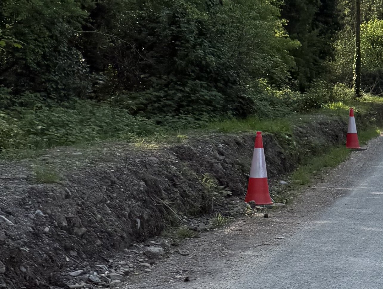
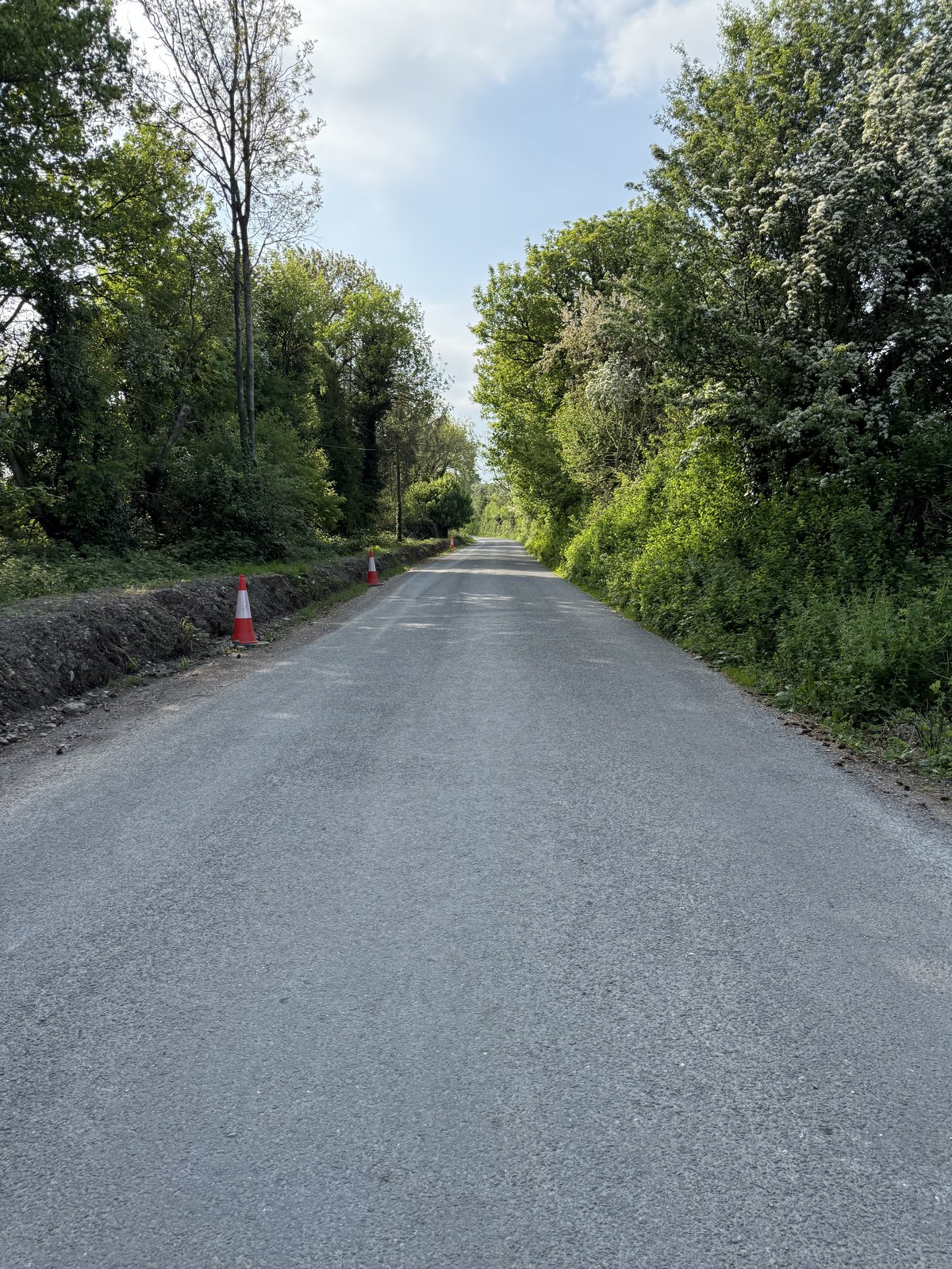
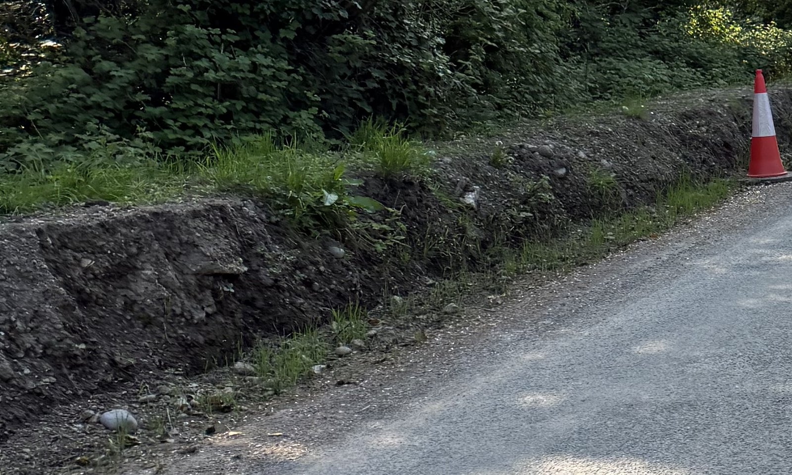
The family asks where surface water from the approach was intended to discharge, and whether the road edge was protected in rain. The council’s Internal Review Decision says its drainage activity was cleaning roadside-verge inlets and that no specific drainage works were carried out on the bridge itself. The statement distinguishes the bridge from the approach and does not settle those questions. Dated work orders, drainage design, discharge details, inspections and traffic-management records would assist.
Family photographs, 1 May 2025, GPS-tagged at the bridge approach and taken after the crash. Council account: Internal Review Decision, 18 February 2026 — see /documents/internal-review-decision-2026-02-18/. The photographs do not establish the crash-night surface, the date of any works or drainage function. These questions are being pursued through the proper legal process.
The council’s location-specific account
In its Internal Review Decision, Tipperary County Council says the only drainage works on the L-3151 were roadside-verge inlet cleaning, that there were no specific drainage works on the bridge itself, and that the 2025 L-3151 works were northwest of the bridge location. The decision does not identify specific works at this bridge approach. Dated work orders, drainage drawings and inspections, and site-safety and traffic-management records would still be needed to establish the date and scope of any work at this bank. Read the related public council record.
Tipperary County Council, Decision on Internal Review, 18 February 2026 (FOI 174/25), quoted and linked above.
Last updated 2026-09-07. This is a living record — findings are added as dated entries and prior versions remain visible.
From the Blog
The bend, the warnings and the bridge wall
Article
The engineering record and the council’s response
Article
2023: Tipperary’s highest county death count
Article
The 80-to-60 motion: what the council requested
Article
Cahir–Cashel: questions, requests and decisions
Article
Councillor payments and expenses: follow the figures
Article
Rain, loose soil and the road edge
Article
Video Explainers
The 80-to-60 motion
Video Explainer
Local requests for lower limits
Video Explainer
Tipperary’s 2023 county count
Video Explainer
Which roads changed to 60?
Video Explainer
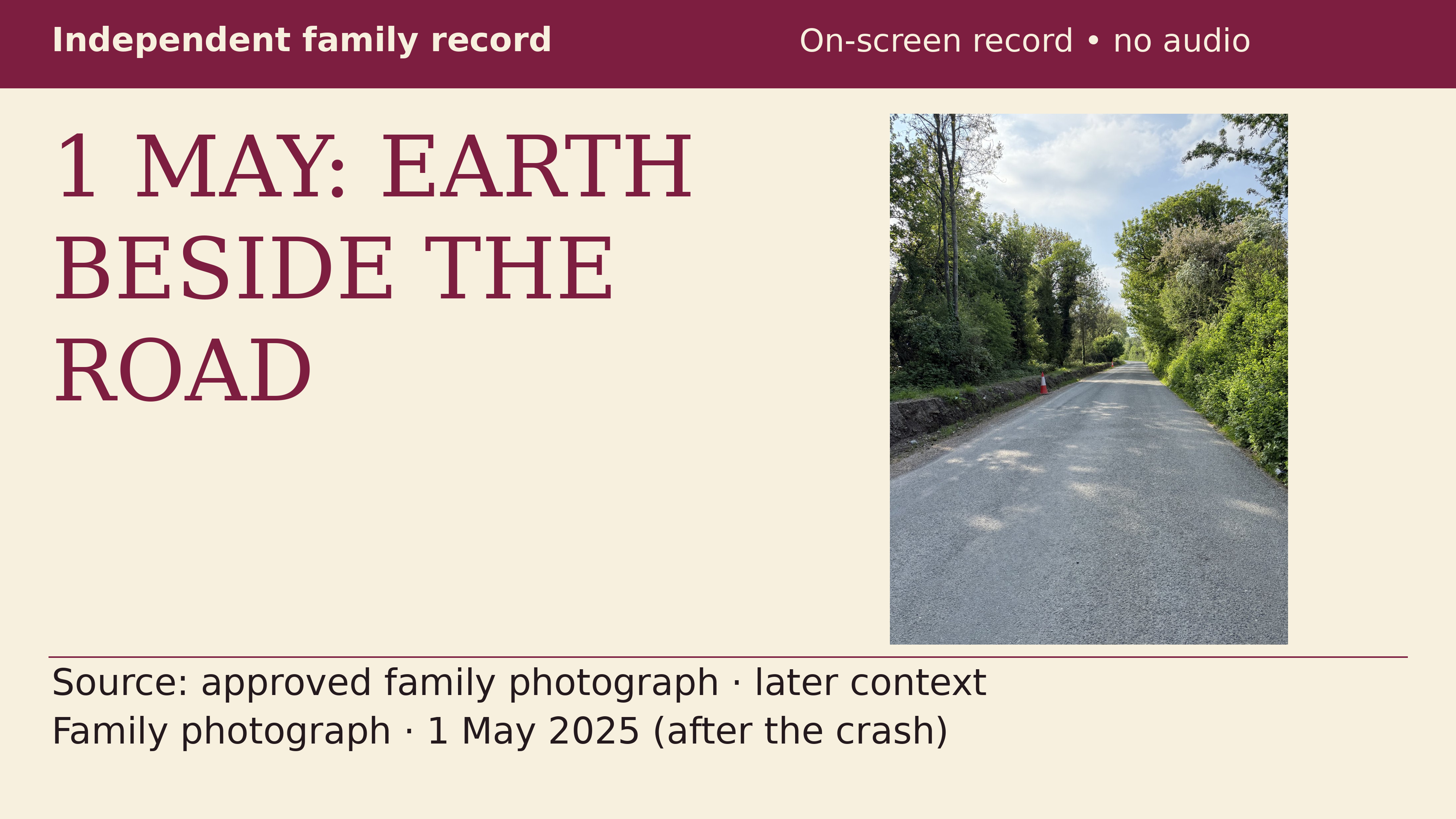
What the 1 May photograph shows
Video Explainer
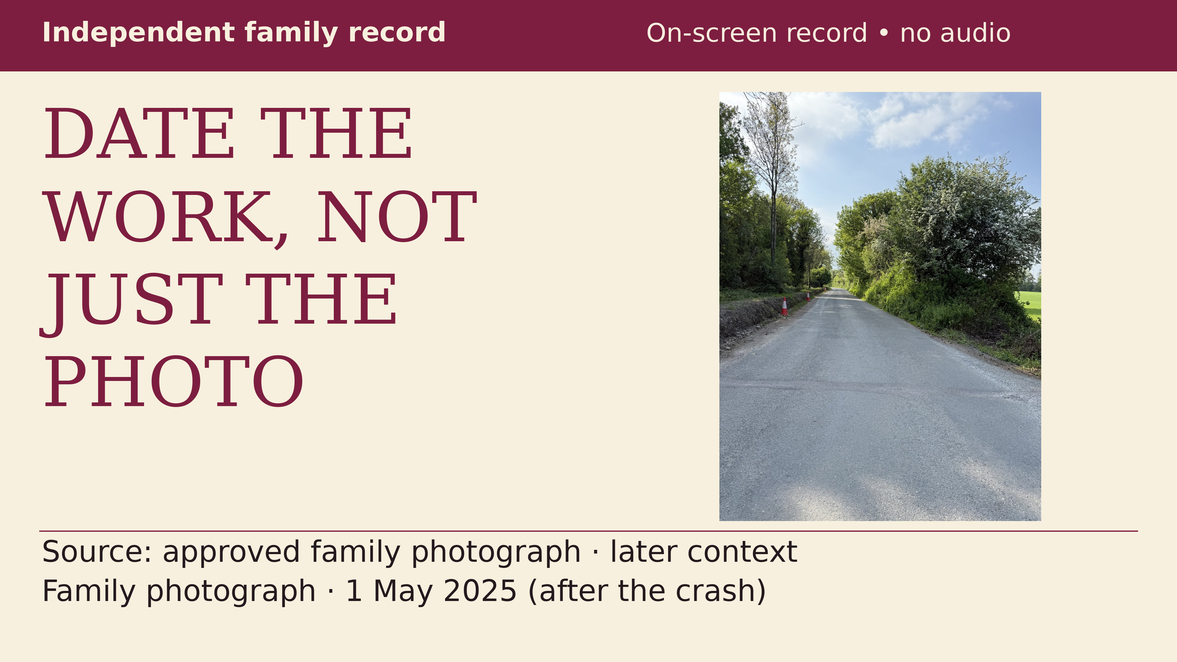
Which documents date the works?
Video Explainer
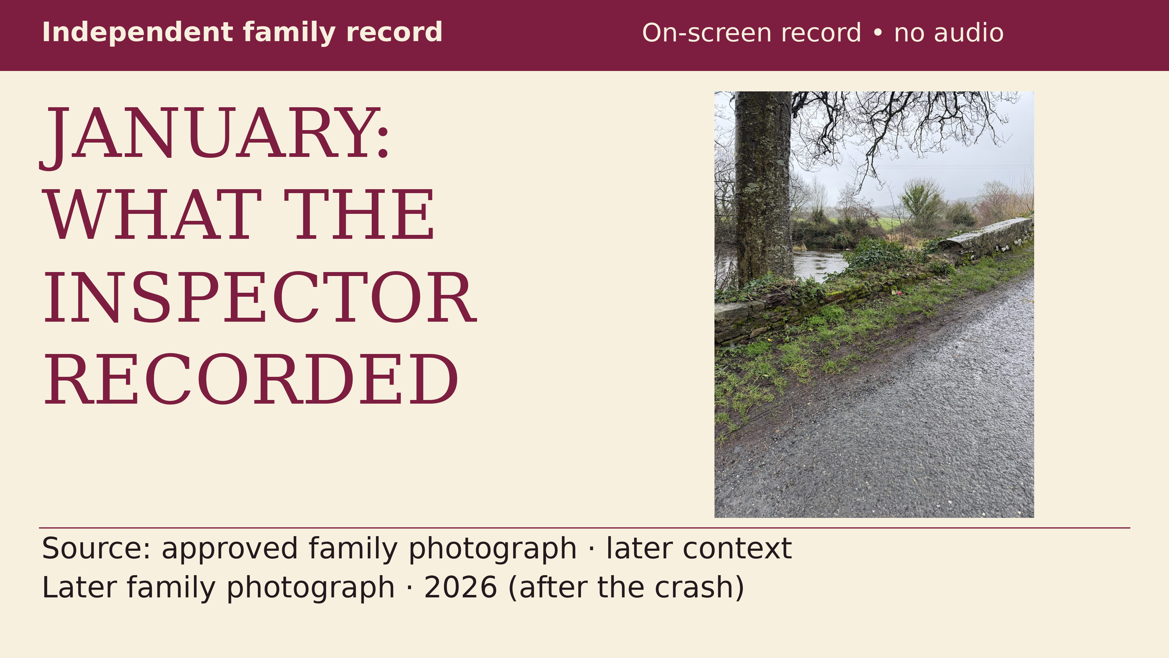
What the January inspector recorded
Video Explainer
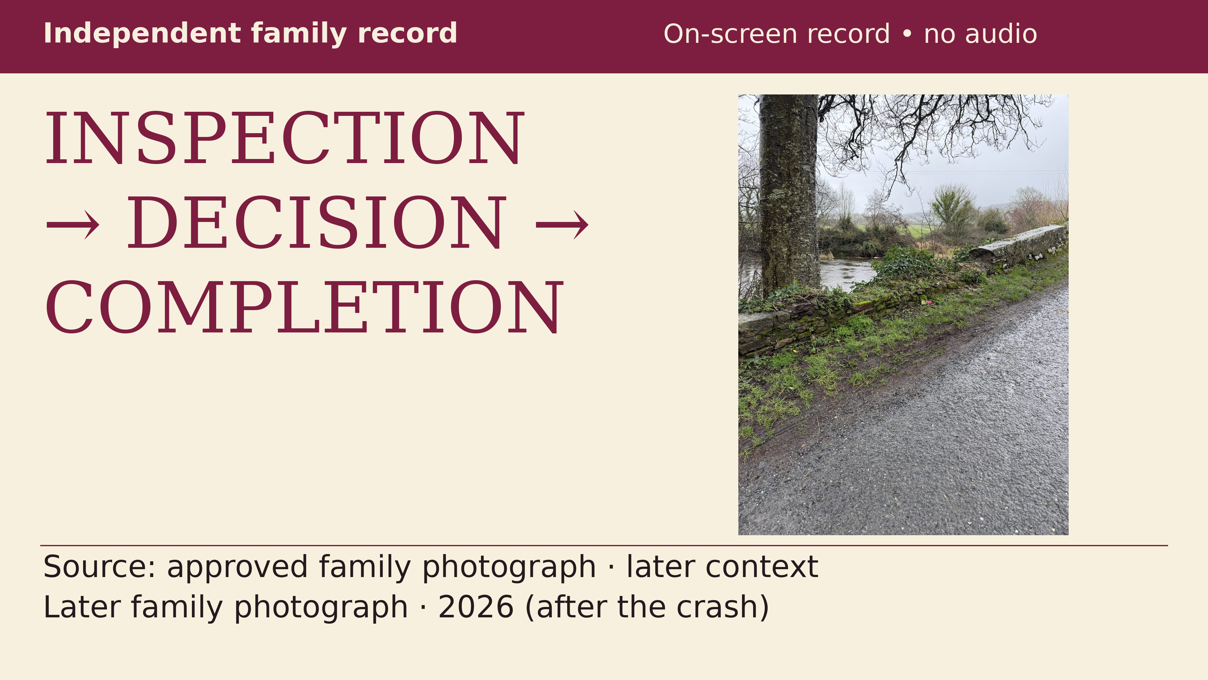
From inspection to completion
Video Explainer