Bronagh English · 18 · 24 April 2025
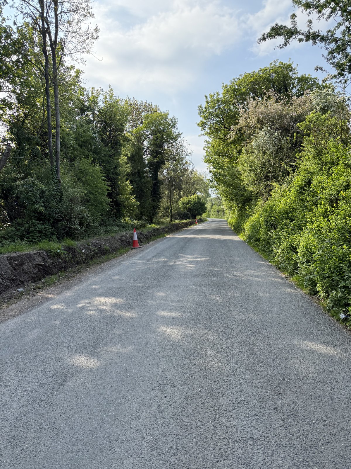
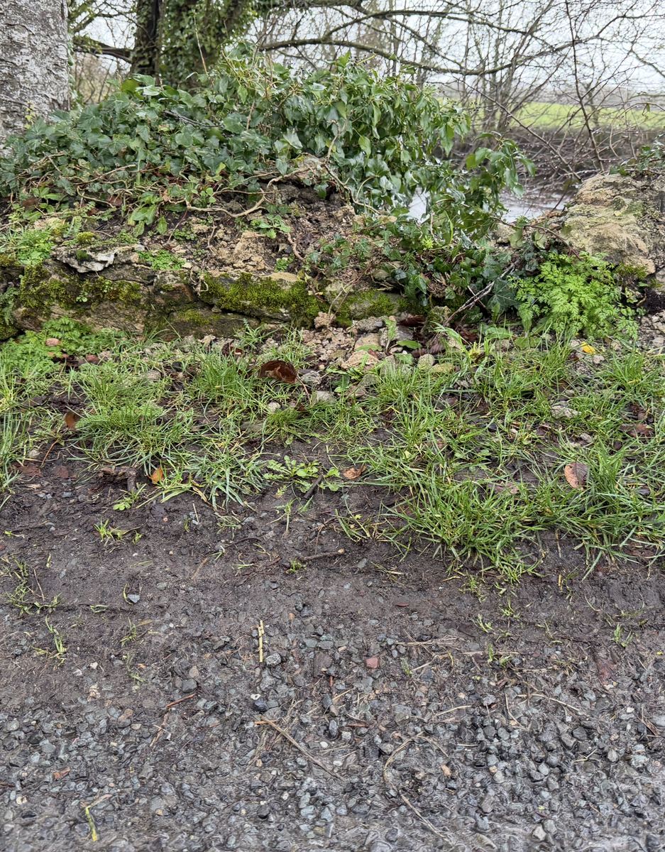
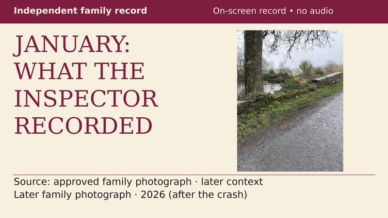
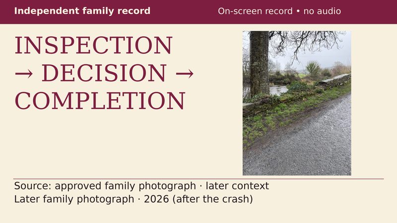
The bank just before the turn.
The photographs, the forensic findings and the road surface.
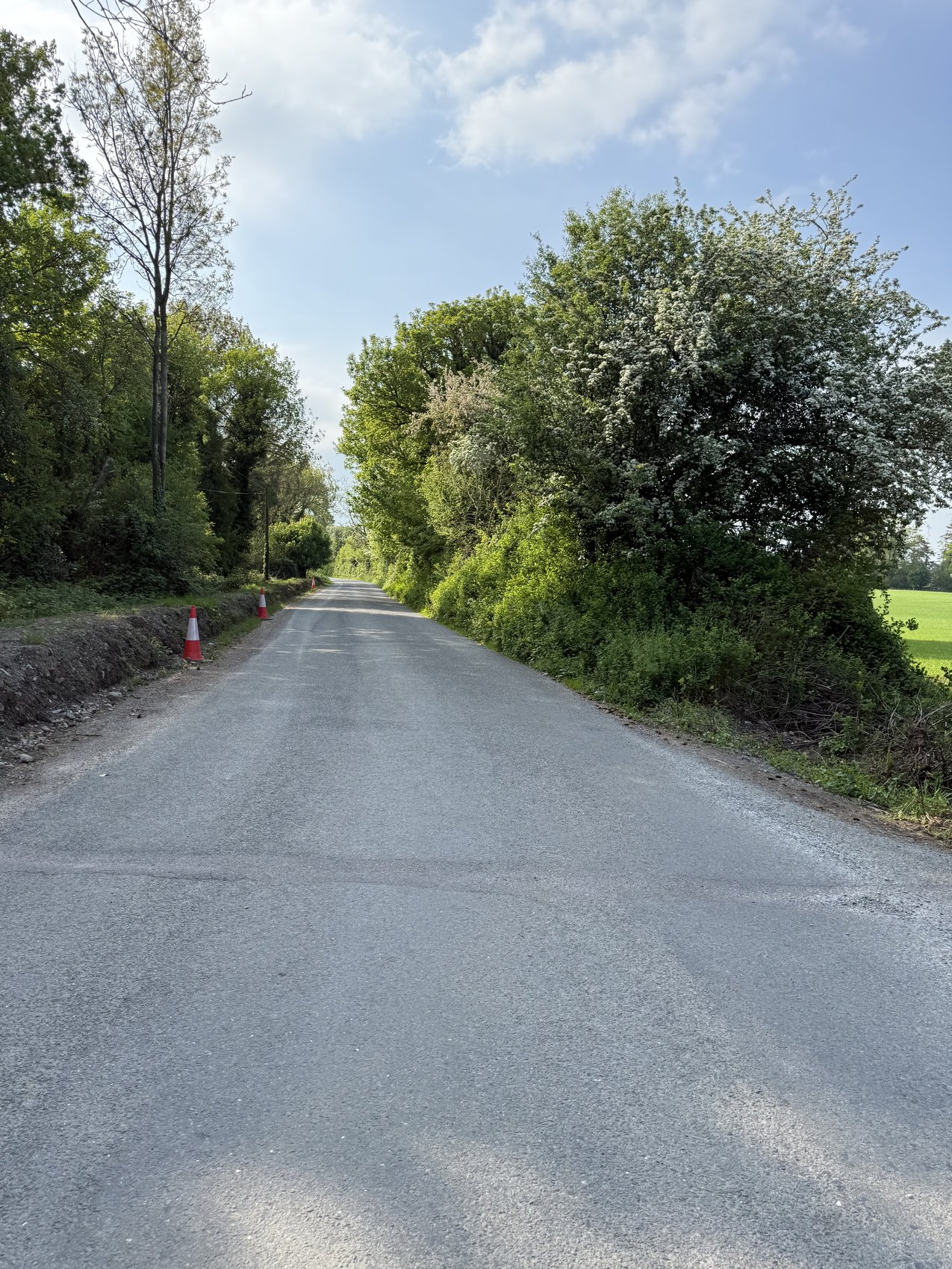
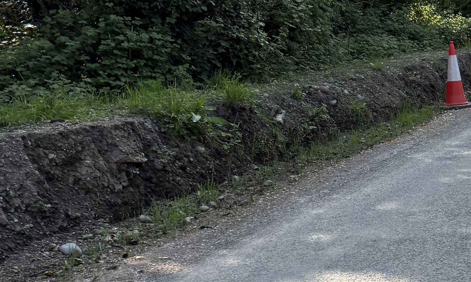
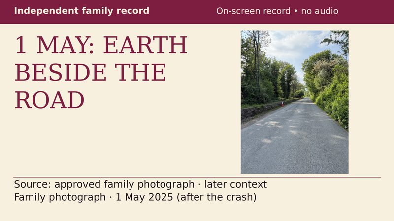
The family’s photographs show exposed soil and loose material beside the road. The Denis Wood Associates technical report, dated 25 July 2025, records in its background that it was understood to have been raining heavily on the evening of the crash.
DWA assessed the bend, junction and bridge. Its wet-road calculation uses stated grip assumptions; it concludes that a significant reduction from the posted limit was needed to negotiate the bend. It also finds warning signs justified and identifies previous wall damage or deterioration that facilitated a vehicle mounting it. These are engineering findings, not merely a personal account.
The Health and Safety Authority’s guidance for agricultural vehicles using public roads warns that muck can cause a motorist to lose control and discusses contamination in wet conditions. That is a recognised safety basis for examining material on this approach. It is general guidance, not a finding about the cause of this collision.
01 · The bank and the turning surface
Stage 01Loose material beside the road before the turn.
The safety issue is the route from the exposed bank to the road surface: what could carry material onto the carriageway during rain, and what prevented or cleared it before the turn? This is a question about road contamination and control, not simply the appearance of the verge.
Look along the left edge in the wider photograph. The exposed earth follows the approach rather than appearing as one isolated patch. The sealed road, the rough strip at its edge and the face of the bank are three different surfaces sitting beside one another.
The detail at the top of this page shows stones and loose material at the foot of that face. The wider view gives them a setting: the roadside Bronagh approached before the turn. These are not photographs of a distant field or an unrelated construction site.
The HSA identifies muck on public roads as a loss-of-control hazard and calls for warnings and measures to prevent material reaching the road. That guidance supports examining containment, runoff, inspection and clearance here; it does not establish the amount or movement of clay on 24 April.
These photographs were taken after the crash. They show the physical setting, not the movement of material during the collision. DWA’s report assesses the locus and expressly does not investigate incident causation. Its reviewed text does not contain a specific finding that clay from this bank caused the collision or Bronagh’s turning difficulty. Any separate engineering conclusion on that mechanism needs its own attribution.
02 · A separate concern at the site
Stage 02The open drain and the protection at its edge.
The open drain raises a separate protection issue. The family describes it as unprotected and “not acceptable at any level”. An answer about where water drains does not, by itself, answer what protection existed around the opening. The reviewed DWA report does not supply a drainage assessment; that issue needs location-specific evidence of its own.
For the drainage question, identify the actual route: where could water leave the carriageway, which inlet served that length of road, and where did it discharge? For the protection question, identify the edge arrangement and the assessment of any exposed drop or excavation. A general reference to roadside drainage does not locate those features in a photograph.
The council’s Internal Review Decision of 18 February 2026 says that the only drainage activity on L3151 was cleaning roadside-verge inlets. It separately says there were no specific drainage works on the bridge itself, and locates the 2025 road programme northwest of the bridge.
Those geographical distinctions matter. ‘On the bridge’ and ‘on the approach’ are not the same place. The answer does not itself map the inlets against the bank in the photographs, identify a dated job at that bank, or show what protection was in place there. It should not be shortened into either ‘the council denied all works’ or ‘the drainage question has been answered’.
What is needed is a location-specific account of the work and the drainage arrangement—not another argument over what the word ‘bridge’ includes.
03 · Before the turn
Stage 03What warning was there before the turn?
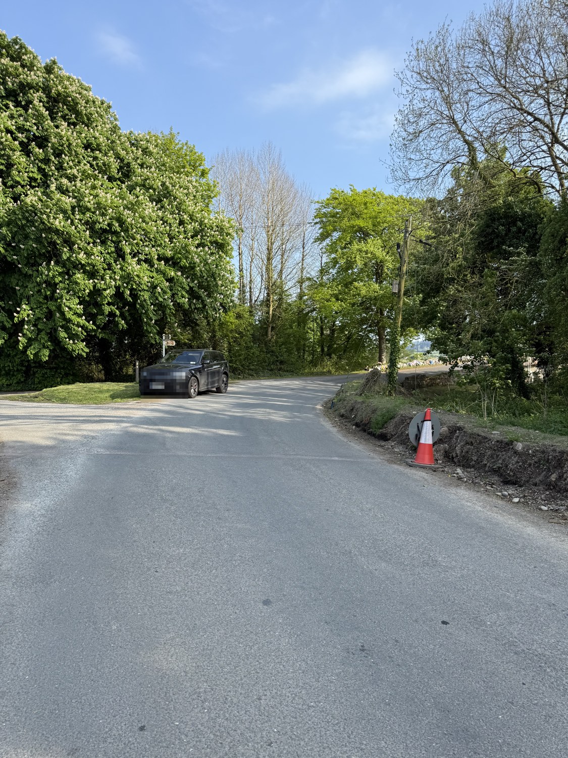
The approach photograph brings the turn and junction into the same view. This is the transition Mike wants people to examine: the road ahead is not simply a continuation of the straight approach. There is a turn into the bridge environment.
His statement that there was no advance warning is not answered merely by pointing to a Yield sign. Yield controls concern priority at a junction. The separate question is what warned an approaching driver about the bend, the bridge and its damaged edge before reaching them.
The council’s Bridge Detail field records ‘Is Signage Present? No’. That is the council’s bridge-asset field—not an inventory proving that there was no sign of any kind anywhere on the approach. The held forensic assessment records Yield controls and separately considers advance warning or chevrons justified.
That distinction sharpens the question rather than weakening it: what advance warning was actually provided for this approach, and where? A proper answer would identify the warning, its position, its installation date and its condition. It would not substitute junction priority for an answer about advance warning.
For Bronagh, unfamiliarity with the road is part of Mike’s account. She could not bring a local driver’s knowledge of what lay ahead. That is why he insists that the warning question belongs before the turn—not only in a discussion afterwards.
04 · At the bridge edge
Stage 04The missing stonework was on record before Bronagh died.
The wall question does not begin with a photograph taken after the collision. On 21 January 2025, the council’s engineering inspection recorded ‘Significant Damage’. That was 93 days before 24 April.
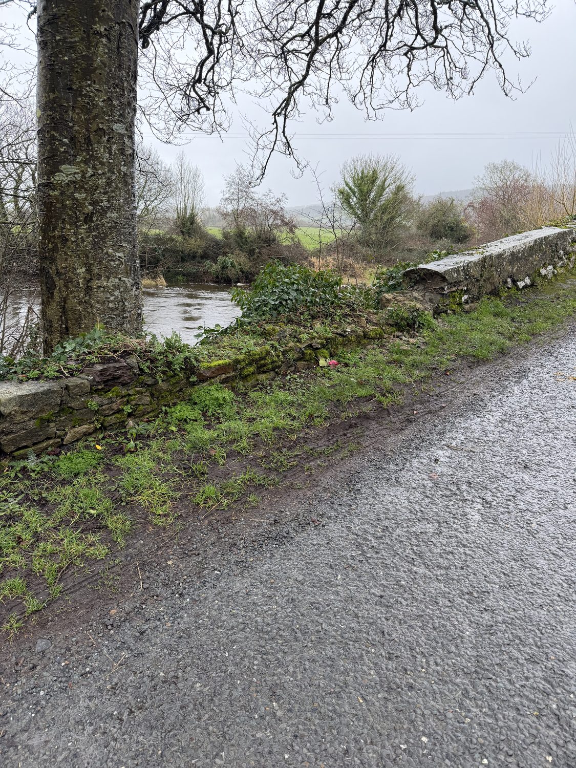
Read the description rather than stopping at the rating. It records four areas of missing stonework in the upstream wall and two in the downstream wall. It describes a five-metre collapsed length at the left-hand side on both upstream and downstream walls. It records the downstream capping as ‘partly removed’ and says work was required to the parapet walls.
A parapet is the wall at the bridge edge. Missing sections are not merely a question about how old stonework looks. They concern the physical edge beside the road. The record identifies damage and required work; it does not identify who removed any capping, and this account does not assign that act to anyone.
The family’s later photographs let readers see the kind of edge they are asking about. They are not substitutes for the January inspection and do not establish every part of the wall’s profile on the crash night.
The unanswered sequence is concrete: after that damage was recorded, what decision followed, what work was instructed, and what interim assessment or protection was considered? An inspection entry is evidence that a condition was recorded. It is not, by itself, evidence that the condition was repaired.
05 · Follow the paper trail
Stage 05A repair year in a table is not a completed repair.
The older report records a principal inspection carried out on 7 March 2013. Its inspection pages carry a 25 February 2014 print date, and the report gives an issue date of 4 March 2014. The parapet schedule lists masonry repointing and masonry repair against 2017. Those are repair intentions in a historic schedule—not evidence that the work happened in that year.
The same report names 2016 for the next principal inspection. The council’s later Internal Review says that principal inspection did not take place because sufficient funding was not available. That is not the same as saying there was no later monitoring: the disclosed record also contains the June 2024 maintenance inspection and January 2025 engineering inspection.
Most importantly, the Internal Review of 18 February 2026 says the listed repair works had not been carried out to date. That is why a scheduled year cannot be presented as evidence of completed work.
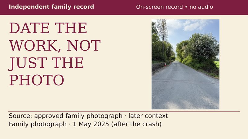
The road-programme entries are a different record again. The later disclosure lists 2018 reconstruction and 2025 resealing over chainage ranges. Those entries are not dated site diaries for the bank in the photographs. Joining them to that exact ground requires the location plan, job scope and actual dates—not an assumption.
- Principal inspection: 7 March 2013. Inspection-page print date: 25 February 2014; report issue date: 4 March 2014. Parapet repair items are listed against 2017.
- Year named for the next principal inspection. The later council response says it did not proceed because sufficient funding was not available.
- Maintenance inspection: overall Warning, with parapets marked Good. This is a different inspection type from the January record.
- Engineering inspection: Significant Damage, missing and collapsed masonry, and parapet work required.
- Bronagh died, aged 18—93 days after that engineering inspection.
- Internal Review Decision says the listed repairs had not been carried out to date.
06 · Bring the road back together
Stage 06Start with the bank and the turn. Then read the rest of the road.
Start with the physical setting shown in the photographs, the heavy rain described in the forensic report’s background, and the recognised danger of contaminated roads. Examine the turning surface alongside DWA’s findings on the bend, warning signs and bridge wall.
The open drain requires a separate, location-specific examination of the opening and its protection. It is not a substitute for the question about material on the turning surface. The warning and wall findings must not push the bank into the background.
This page cannot reconstruct Bronagh’s final seconds from later daylight photographs. But it can refuse to reduce the record to the single fact that a car left a road. The approach, the warning information, the condition of the bridge and the response to recorded damage are all part of what the family wants examined.
A driver cannot install an advance warning, change a drainage arrangement or repair a bridge wall on arrival. Those are conditions encountered on the journey. The full record needs to be examined, with each finding credited to its source rather than the engineering evidence reduced to a personal view.
07 · Ask for answers tied to this place
Stage 07Show the work, the warning and the response—not just a general assurance.
Even the road number needs care. The council’s July 2026 disclosure identifies the bridge road as L3151 and distinguishes the separate L31011-0 cul-de-sac. Other records and maps use L3101. Records must be matched to the actual place; an answer about another length of road does not settle this one.
The next answers should identify the following, with dates and locations:
The wider public question
Stage 08The county’s road-safety debate belongs beside its road record.
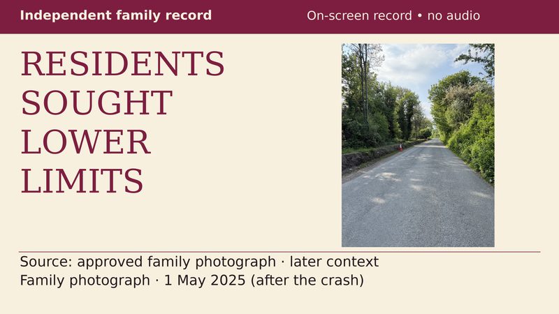
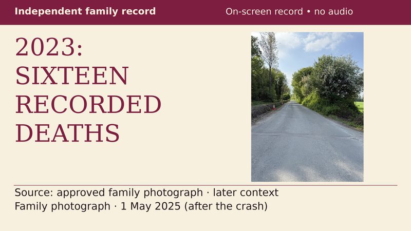
The RSA recorded 16 road deaths in Tipperary in 2023, the highest county total that year. On 14 October 2024, Tipperary County Council unanimously adopted a motion asking that the new default speed limits should not apply universally across the county, but only where considered necessary.
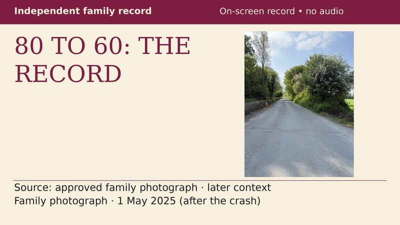
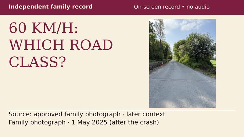
The national rural-local-road change from 80 km/h to 60 km/h nevertheless took effect on 7 February 2025. The motion did not stop it. These dated records raise a public question about priorities; they do not establish the cause of Bronagh’s death. Nor does the 2023 figure claim that Tipperary is the highest county today.
I lost the person I loved here and I want everyone to see it.
Mike English, Bronagh’s father
Behind every record on this page is Bronagh—not a case number and not simply the subject of a road-safety argument. Her father is asking people to look carefully, read the evidence and support a full account of the road she faced.
If you have relevant first-hand information, photographs or dated records, use the information route. The published record is there to be examined, not to invite abuse of individuals.
From the Blog
Roadworks, the bank and the open-drain question
Article
The engineering record and the council’s response
Article
2023: Tipperary’s highest county death count
Article
The 80-to-60 motion: what the council requested
Article
Cahir–Cashel: questions, requests and decisions
Article
Councillor payments and expenses: follow the figures
Article
Rain, loose soil and the road edge
Article
Video Explainers
The 80-to-60 motion
Video Explainer
Local requests for lower limits
Video Explainer
Tipperary’s 2023 county count
Video Explainer
Which roads changed to 60?
Video Explainer
What the 1 May photograph shows
Video Explainer
Which documents date the works?
Video Explainer
What the January inspector recorded
Video Explainer
From inspection to completion
Video Explainer