 Public Record
South Tipperary and West Waterford road safety, 2018–2023
South Tipperary and West Waterford road safety, 2018–2023 — 1 January 2018–31 December 2023 (six complete calendar years). On a fixed resident-population…


Factual record. No finding of causation or responsibility is made here.
A place to sit with her memory and feel her love still surrounding us.
♫ Listen · RTÉ Radio 1, Today with David McCullagh, 28 September 2026 →





Bronagh filled our days with warmth, quiet strength, and the brightest smile. Here are gentle photographs of her by herself, with family, and with friends — each one a small window into the love she gave so freely.
Every photograph remains an original family memory. The documented public-record account is separate and continues at the page below.
Start with the public record
Bronagh is remembered here first as a much-loved daughter, sister and friend. The deeper account keeps the memorial separate from the public record: the raised roadside verge, drainage questions, warning record and damaged bridge wall.
It begins with the family’s account and dated photographs, then lets readers read the original records and their limits for themselves.
Download the public-record PDF.
Support the public record: read it, share it, and keep the sources with the claim. Anyone with confidential information about the road or bridge can use the family’s information page.
Related public reading: Weather and the bank · Council worksite safety · Loose soil beside roads
The family’s solicitors are pursuing questions arising from the record. This page does not make a finding of causation or liability.
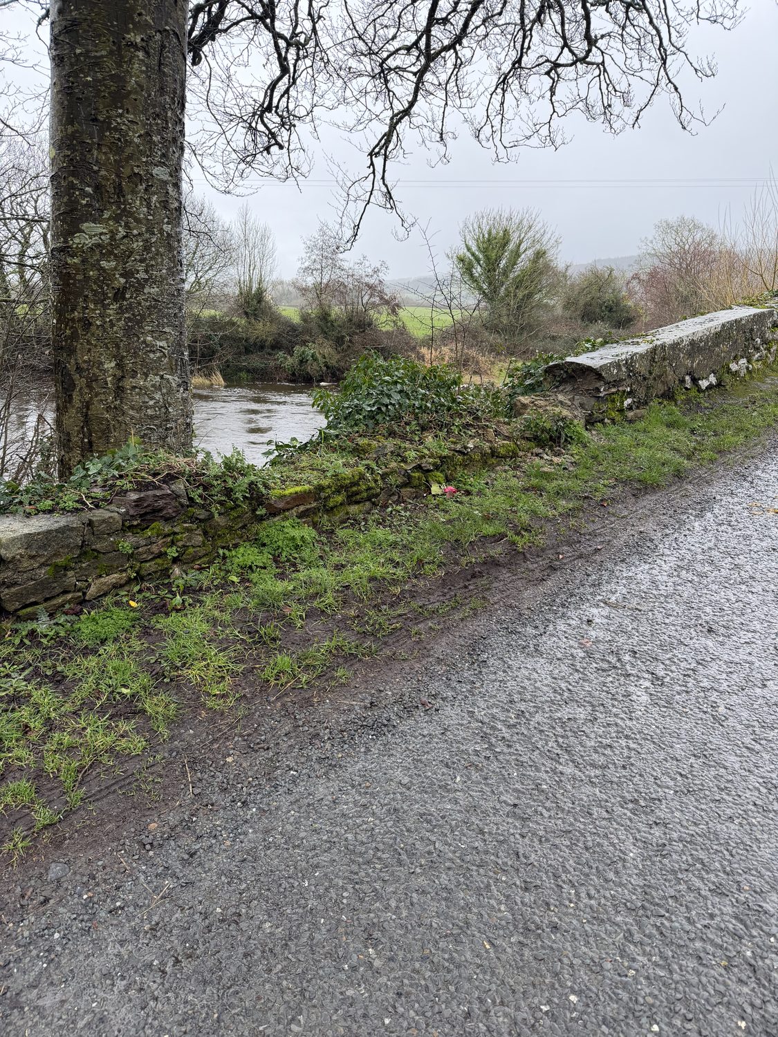
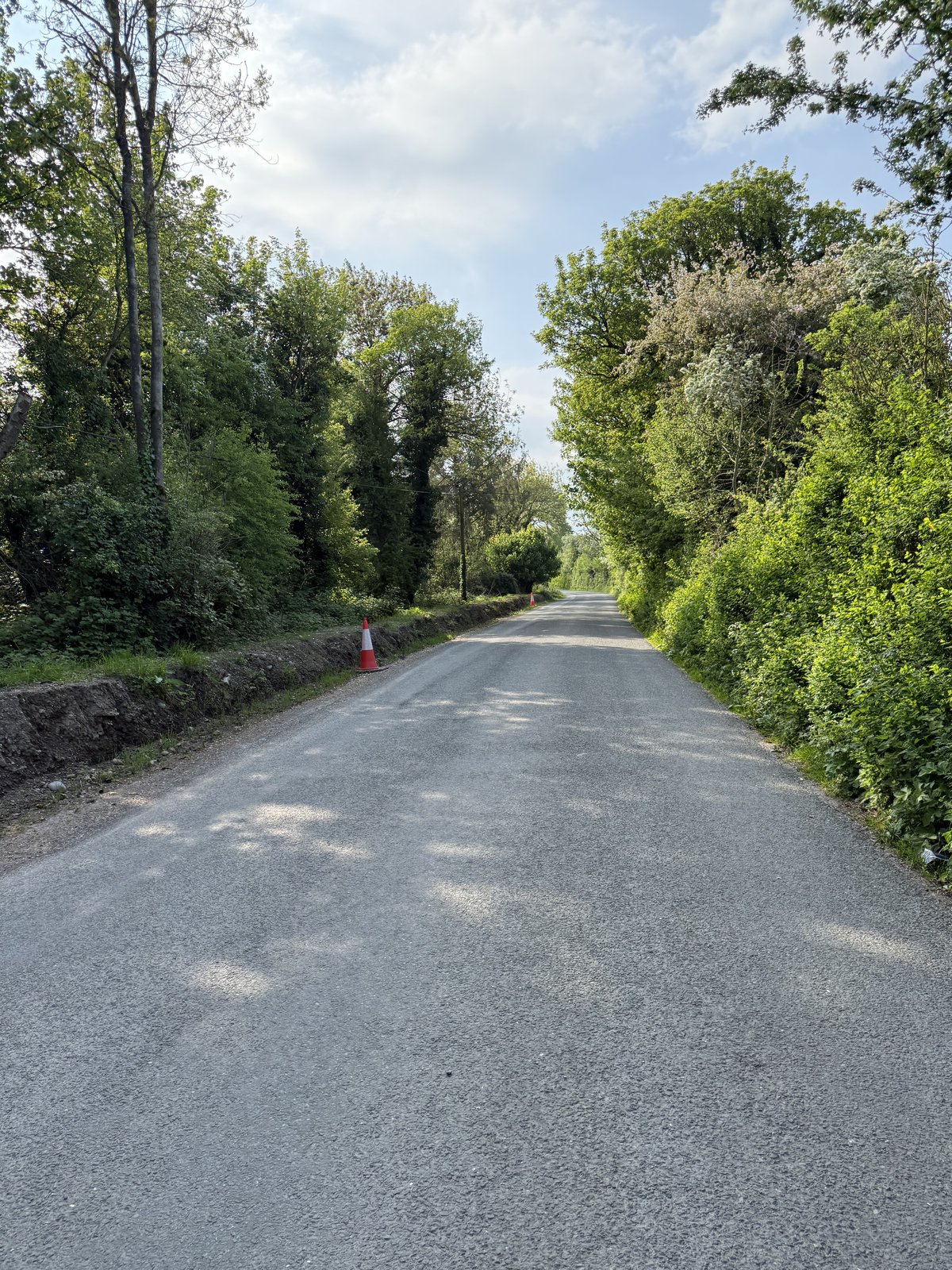
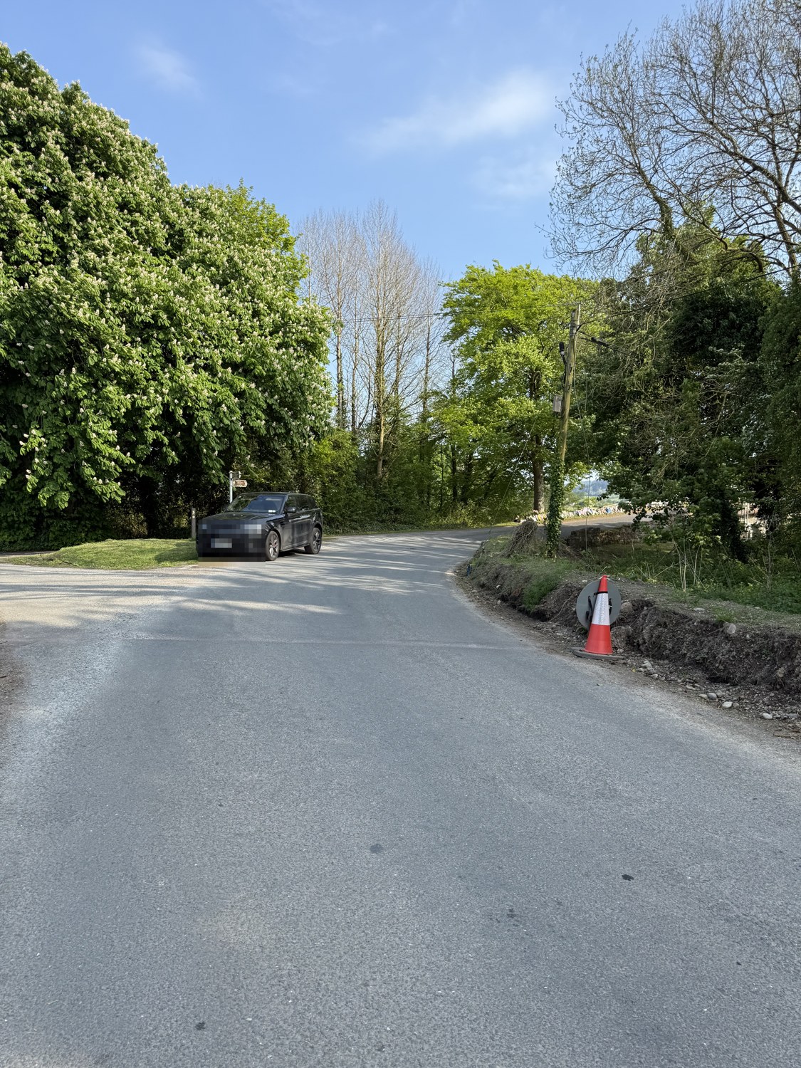
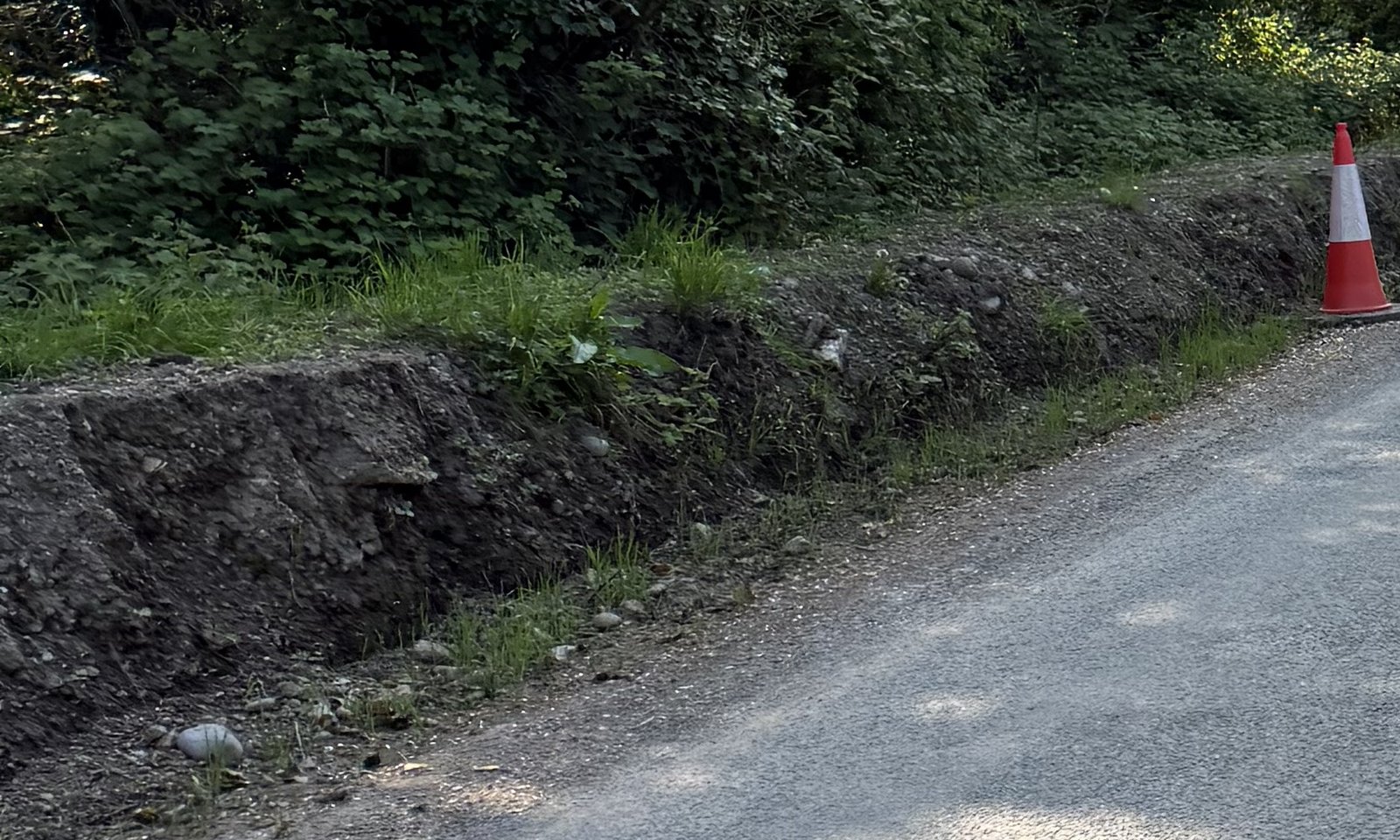
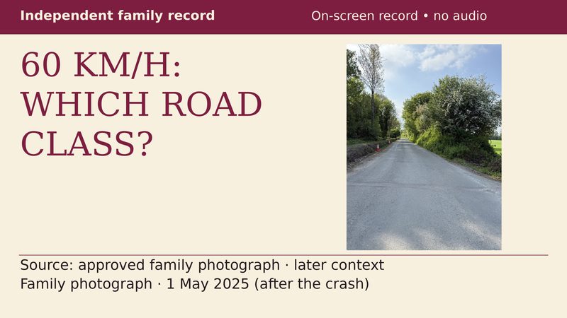
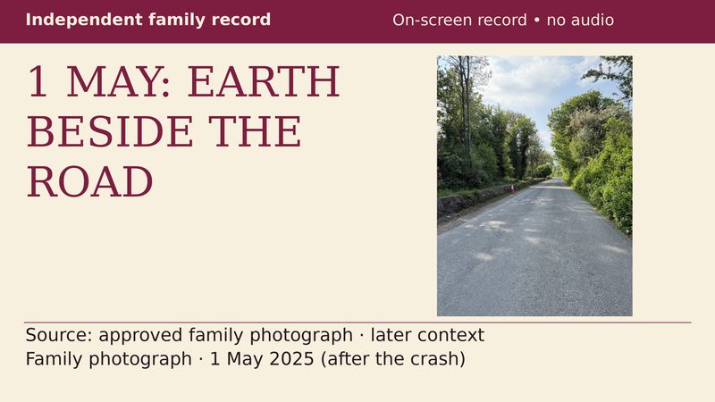
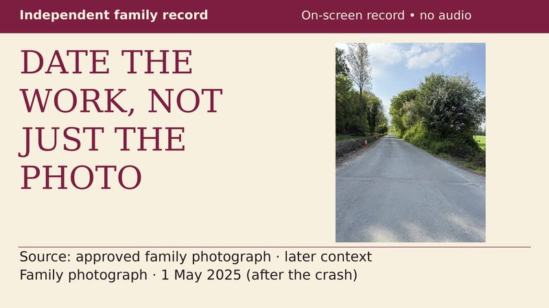
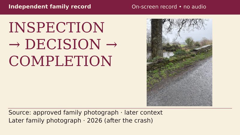
Two family-supplied views show the roadside channel and road edge at the bend. No barrier is visible between the channel and the road in the photographed section.
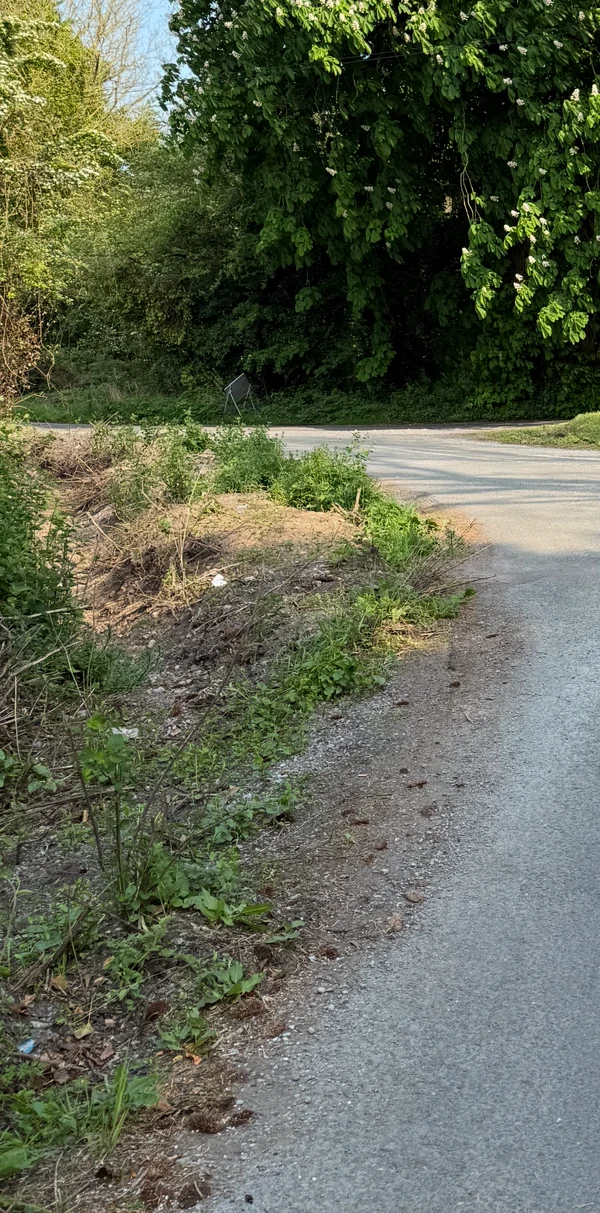
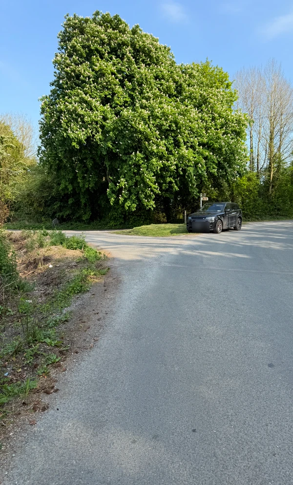
Capture date not confirmed. “Left” describes these views, not Bronagh’s direction of travel.
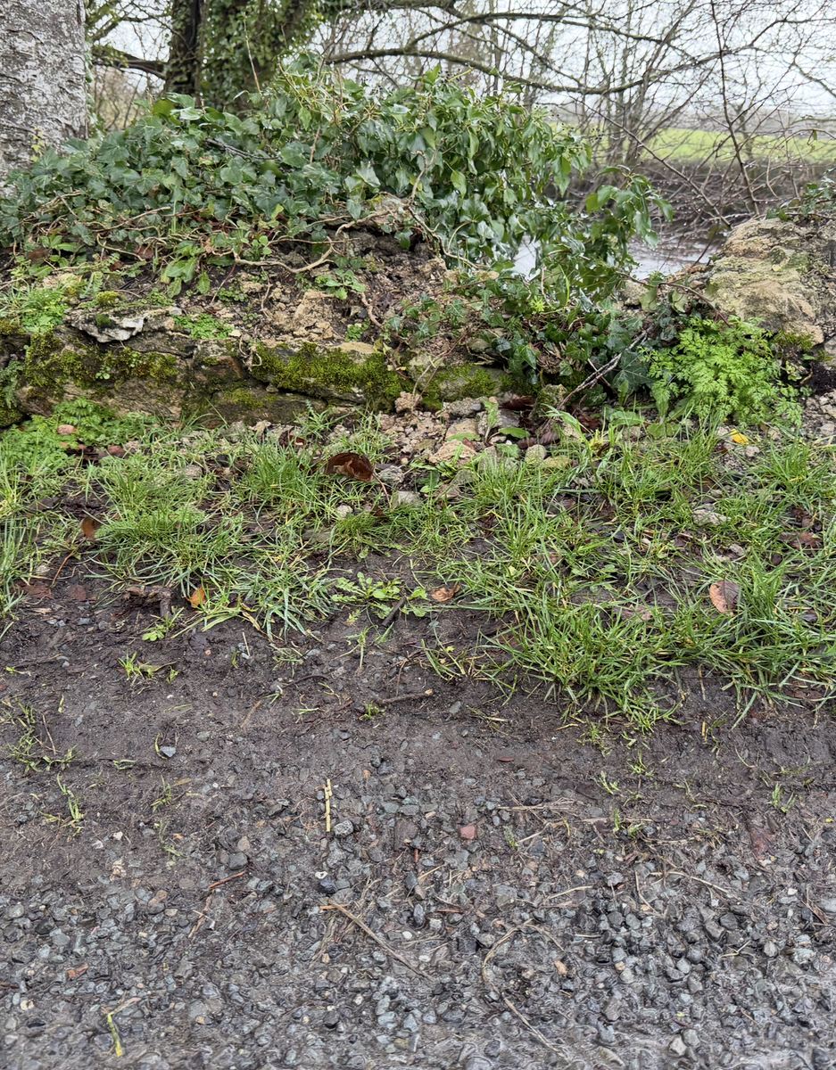
Was this a permanent drain or an excavation still in progress? What protection, signs and inspections were specified? Could water or erosion have affected the road edge?
These are questions for the works records and an engineering assessment, not findings from photographs.
Last updated 2026-10-03. This is a living record — findings are added as dated entries and prior versions remain visible.
Public RecordSouth Tipperary and West Waterford road safety, 2018–2023 — 1 January 2018–31 December 2023 (six complete calendar years). On a fixed resident-population…
 Public Record
A source-linked annual analysis and mapped collision record, with council material kept in its own institutional record.
 Public Record
A compact, source-linked view of 11 audited institutional records.
 Public Record
Exposed earth beside the approach, drainage and the protection questions. Read the dated family photographs alongside the council’s descriptions of works—and the records needed to establish what was done and when.
 Public Record
What warned a driver before the bend, and what condition was the bridge edge in? The account separates advance warnings, the recorded bridge-signage field and DWA’s later survey.
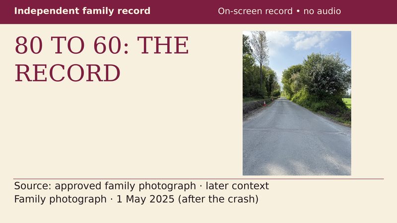
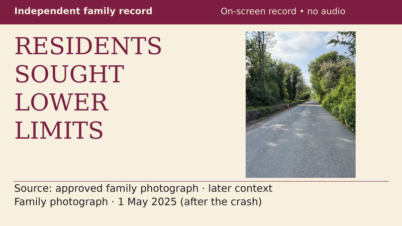
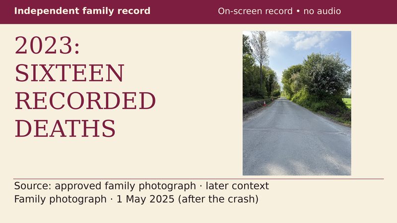
South Tipperary and West Waterford road safety, 2018–2023 — 1 January 2018–31 December 2023 (six complete calendar years). On a fixed resident-population…
Every factual statement on this site is drawn from a document held on file and named in the text. Council-produced records are cited and, where public, linked. Nothing here alleges wrongdoing by any named individual; it sets out documented decisions of an institution and the questions they raise. Bronagh English died on 24 April 2025, aged eighteen.
If you have information about the condition of this road or bridge, or about works carried out on it, please contact Lynch Solicitors.
Factual record. No finding of causation or responsibility is made here.
Related: Killardry Bridge inspection record · Tipperary road conditions record · Tipperary road deaths record · Tipperary County Council public records
Full record: The full record · How it happened · Council on video · Councillor’s Response · Other councils compared · Road-safety guides · Road safety · Documents · Road deaths by year · 20 years of road deaths · Cahir–Cashel road statistics · Standards · Family seeking answers · Roads and speed-limit video record · Why rural roads kill
Watch the record on YouTube: youtube.com/@bronaghenglishrecord
Sources and methodology · Corrections and right of reply
Factual record. No finding of causation or responsibility is made here.
Road statistics · sourced comparison
Road statistics · sourced comparison
1 January 2018–31 December 2023 (six complete calendar years). In the full Tipperary–Cahir–Cashel Municipal District, including its rural areas, the derived annualized rate was 8.61 people killed per 100,000 residents, compared with 2.84 nationally. This is an area comparison relative to population, not a personal likelihood.
This page uses the full municipal district, not the populations of Cahir and Cashel towns. The linked road-deaths map and record has broader coverage and a different purpose.
23
people killed in 21 fatal-collision records in the district
8.61
annualized people killed per 100,000 residents
3.03×
the State rate on this population basis
36.5% of County Tipperary’s deaths and 26.5% of its population; the district rate was 37.6% above the county rate.
The district’s fixed Census 2022 population is 44,532. The 23 people comprised 11 drivers, 5 passengers, 5 pedestrians, 2 motorcyclists. They were not all drivers. Annual district deaths were 6, 4, 1, 3, 3, 6 from 2018 to 2023.
Scroll horizontally to read this table.
Five Tipperary municipal districts
| District | 2022 population | Fatal-collision records | People killed | People killed per 100,000 per year |
|---|---|---|---|---|
| Clonmel | 25,003 | 10 | 13 | 8.67 |
| Tipperary–Cahir–Cashel | 44,532 | 21 | 23 | 8.61 |
| Carrick-on-Suir | 20,191 | 7 | 7 | 5.78 |
| Nenagh | 40,879 | 11 | 12 | 4.89 |
| Thurles | 37,290 | 8 | 8 | 3.58 |
Scroll horizontally to read this table.
Annual people killed
| Year | Tipperary–Cahir–Cashel | County Tipperary | State |
|---|---|---|---|
| 2018 | 6 | 10 | 134 |
| 2019 | 4 | 13 | 140 |
| 2020 | 1 | 7 | 141 |
| 2021 | 3 | 10 | 132 |
| 2022 | 3 | 7 | 152 |
| 2023 | 6 | 16 | 179 |
National baseline: the Republic of Ireland recorded 878 people killed across a fixed Census 2022 population of 5,149,139, an annualized rate of 2.84 per 100,000 residents over these six years.
Tipperary recorded 63 people killed, a rate of 6.25, ranking #2 of 26 counties behind Monaghan (6.38). Tipperary’s rate was 2.20 times the national rate.
Scroll horizontally to read this table.
| Rank | County | 2022 population | People killed | Fatal-collision records | People killed per 100,000 per year |
|---|---|---|---|---|---|
| 1 | Monaghan | 65,288 | 25 | — | 6.38 |
| 2 | Tipperary | 167,895 | 63 | — | 6.25 |
| 3 | Donegal | 167,084 | 53 | — | 5.29 |
| 4 | Roscommon | 70,259 | 22 | — | 5.22 |
| 5 | Louth | 139,703 | 41 | — | 4.89 |
| 6 | Cavan | 81,704 | 23 | — | 4.69 |
| 7 | Mayo | 137,970 | 38 | — | 4.59 |
| 8 | Offaly | 83,150 | 22 | — | 4.41 |
| 9 | Kerry | 156,458 | 41 | — | 4.37 |
| 10 | Kilkenny | 104,160 | 27 | — | 4.32 |
| 11 | Leitrim | 35,199 | 9 | — | 4.26 |
| 12 | Longford | 46,751 | 11 | — | 3.92 |
| 13 | Westmeath | 96,221 | 22 | — | 3.81 |
| 14 | Clare | 127,938 | 29 | — | 3.78 |
| 15 | Meath | 220,826 | 49 | — | 3.70 |
| 16 | Sligo | 70,198 | 15 | — | 3.56 |
| 17 | Limerick | 209,536 | 44 | — | 3.50 |
| 18 | Wexford | 163,919 | 34 | — | 3.46 |
| 19 | Galway | 277,737 | 49 | — | 2.94 |
| 20 | Carlow | 61,968 | 9 | — | 2.42 |
| 21 | Cork | 584,156 | 83 | — | 2.37 |
| 22 | Laois | 91,877 | 12 | — | 2.18 |
| 23 | Waterford | 127,363 | 15 | — | 1.96 |
| 24 | Wicklow | 155,851 | 18 | — | 1.92 |
| 25 | Kildare | 247,774 | 25 | — | 1.68 |
| 26 | Dublin | 1,458,154 | 99 | — | 1.13 |
Boyle Municipal District, County Roscommon, recorded 15 people killed in 14 source records from a population of 24,421: 10.24 per 100,000, about 19% higher than Tipperary–Cahir–Cashel. This is not a claim that Boyle is Ireland’s worst district; 11 districts were screened in this targeted comparison. Clonmel’s 8.67 rate is marginally higher than Cahir–Cashel’s 8.61; the largest raw count is not the highest district rate.
These later public records are separate from the 2018–2023 statistical comparison. They record requests, responses and planned work—not findings of causation or proof that work was completed.
2025-05-26
James Swords: recorded response to a safety request
The minutes record Councillor John O’Heney asking for safety measures following a recent tragic incident. James Swords is listed as District Engineer present; the response is attributed to that role.
Limit: The minute does not name the bridge or specify a parapet repair. It does not say that Gardaí were to design or direct a bridge repair.
there is an ongoing Gardai investigation into the incident and if there are any recommendations from the report it will be implemented.
Excerpt from the minutes, not a verbatim speech transcript.
• Official minutes — attendance and District Engineer, PDF p. 1 — Officials Present; James Swords, District Engineer
• Official minutes — District Engineer’s report, PDF p. 5 — Item 3.4, District Engineer’s Report
• Official minutes — recorded response, PDF p. 6 — Item 3.4, District Engineer’s Report
2024-10-14
Máirín McGrath seconded the default-speed-limit motion
Motion 2861 was proposed by Cllr Niall Dennehy and seconded by Cllr Máirín McGrath, a Cahir LEA member. The full County Council recorded unanimous agreement. The motion sought selective application of the new default limits, rather than universal application across the county.
Limit: This was not a motion introducing a blanket 80-to-60 reduction. The December clarification below records the legal-advice referral.
• Official October minutes — Motion 2861, PDF p. 12 — Item 8.2, Notice of Motion Ref. 2861
• Official October minutes — unanimous outcome, PDF p. 15 — Notice of Motion Ref. 2861 outcome
• Official Council AGM minutes — elected-area roles, PDF p. 2 — Item 2.1, elected members by electoral area
2024-12-09
Council clarification and legal advice
The minutes record Chief Executive Sinéad Carr acknowledging support for Motion 2861, while explaining that legal advice was being sought on whether a plenary motion could supersede national legislation. The October minutes were to be amended to reflect that clarification.
Limit: This does not establish a road-specific exception or a suspension of national rules.
• Official December minutes — clarification, PDF p. 2 — Item 3.1, Matters Arising on October minutes
2025-01-13
80-to-60 implementation and weather-delayed signs
The minutes record 7 February 2025 as the commencement date for the rural-local-road default reduction from 80 to 60 km/h. They also record severe weather delaying sign-installation work and distinguish a later, wider Phase 2 review.
Limit: This is a dated implementation note, not proof of the limit or weather at any individual crash site.
• Official January minutes — Speed Limit Review, PDF p. 11 — Item 7.1, Roads, Transportation, Health & Safety
2026-05-25
477 district bridges; 14 applications; three funded
The District Engineer reported €1 million in county bridge funding, 477 bridges in the district, applications for 14 bridges requiring work and funding for three.
Limit: The minute does not establish whether Killardry was among the 14; funding is not proof of completed work.
• Official May 2026 minutes — bridge funding, PDF p. 6 — Item 3.6, District Engineer’s Report
2026-05-25
Temporary measures considered at Rehill Bridge
Following Cllr Máirín McGrath’s request for urgent rehabilitation, the District Engineer reported that Rehill tender documents were nearly complete and temporary measures were being considered to reopen the bridge, with completion hoped for by the end of that week.
Limit: This records a plan and expectation, not verified completion.
• Official May 2026 minutes — Rehill Bridge, PDF p. 6 — Item 3.6, District Engineer’s Report
The earlier bridge inspection
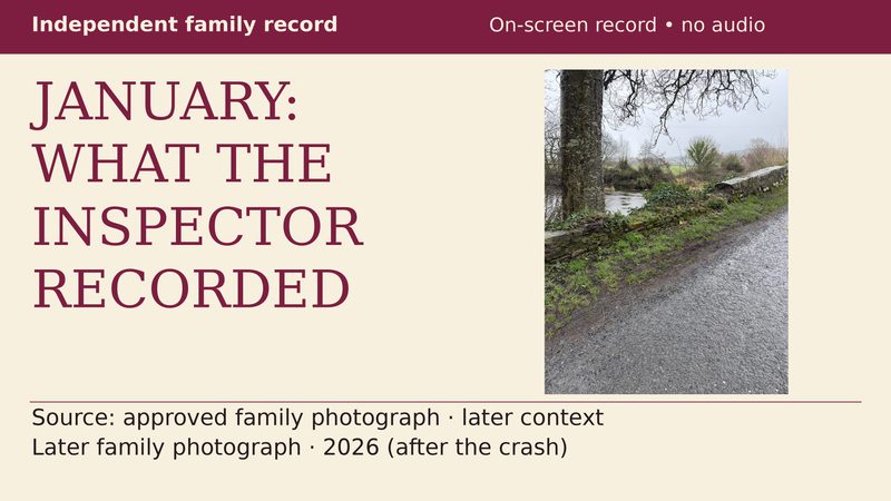
The family’s published summary of Council inspection record TY-L3151-B-010 reports “Significant Damage” on 21 January 2025 and records downstream capping as “partly removed”. That inspection predates both the 24 April 2025 collision and the 26 May 2025 meeting response.
Limit: This is a summary of a Council record held on file, not the original report online. The records checked do not establish whether or when James Swords personally received or read the inspection report.
• Published family summary of the Council inspection record
When was the inspection circulated to the district engineering team, and what action was recorded?
Read the full sourced record on the primary statistics page.
• Payments
• Weather
People killed ÷ fixed 2022 population ÷ 6 years × 100,000. Populations are fixed Census 2022 references. Counts concern collision locations, not resident addresses; the result is not a rate per journey or vehicle-kilometre. Current 2024 reference boundaries are applied retrospectively. The series is provisional and subject to revision. The figures do not establish why crashes happened or measure road-maintenance spending.
Return home · Open the broader road-deaths map and record
• RSA SourceData — Map of Collisions source data — Fatal-collision source records, 2018–2023; mapped locations assigned to current reference districts.
• CSO ROA15 — Persons Killed and Injured — State and county people-killed totals, 2018–2023; provisional/revisable series.
• CSO ROA12 — All road users — Independent national cross-check of people-killed totals, 2018–2023.
• CSO Census 2022 Table 8.1 background notes — State and county 2022 population background.
• CSO FY108 — official statutory LEA population CSV — 2022 population basis and statutory LEA/district mapping.
• Tipperary County Council Adopted Budget 2024, Table 7 (PDF) — Five municipal-district populations labelled as based on Census 2022; physical page 20.
• Tailte Éireann 2024 statutory boundary dataset service — Checked 2024 Tailte Éireann statutory municipal-district boundary dataset service; current reference boundaries applied retrospectively.
• Irish Statute Book S.I. 631/2018 — Optional Boyle municipal-district/LEA mapping context.
Download the five-district CSV · Download the 26-county CSV · Download the public JSON snapshot
Factual record. No finding of causation or responsibility is made here.
If you have information about this road, this bridge, or the records on this site, you can write to Bronagh's family here.