Bronagh’s road · Weather and works evidence · 5 September 2026
The bank before the turn: rain, records and work-site safety
The bank before the turn needs to be examined alongside the rain, the road surface, the open drainage and the protection provided to drivers—not as a separate detail.
Bronagh died at Killardry Bridge on 24 April 2025. The Garda release places the collision after 10pm. That is after 21:00 UTC: Ireland was on summer time. The station records below establish rainfall at the named gauges. They do not place a gauge on the bridge or show the exact surface under her tyres. [1]
What the nearby gauges actually recorded
Cahir (Toureen), approximately 1.1km from the bridge, recorded 21.5mm for the rainfall day labelled 24 April 2025. The Cahir Vocational School and Bansha gauges provide nearby comparisons, not measurements of the same patch of road. [2]
| Station | Approx. km | Rain (mm) |
|---|---|---|
| CAHIR (Toureen) | 1.1 | 21.5 |
| CAHIR (Vocational School) | 5.6 | 14.3 |
| BANSHA (Aherlow W.W.) | 10.2 | 22.0 |
Toureen also recorded rain on each of the four rainfall days labelled 20–23 April: 9.2, 1.1, 10.1 and 3.2mm respectively, totalling 23.6mm. That aggregate covers 10am on 20 April to 10am on 24 April locally. It provides antecedent weather context, not a measurement of saturation at the bank. [2]
What the hourly record says about the evening
The closest station found with an available hourly record for the period is Moore Park, approximately 34km away. Its hourly observations show rain around the time of the collision. This is regional timing evidence, not a claim that the same rate fell at Killardry. [4]
| Irish local interval | UTC ending | Rain (mm) |
|---|---|---|
| 24 Apr 18:00–19:00 | 24 Apr 18:00 | 0.2 |
| 24 Apr 19:00–20:00 | 24 Apr 19:00 | 0.2 |
| 24 Apr 20:00–21:00 | 24 Apr 20:00 | 0.3 |
| 24 Apr 21:00–22:00 | 24 Apr 21:00 | 1.7 |
| 24 Apr 22:00–23:00 | 24 Apr 22:00 | 1.8 |
| 24 Apr 23:00–25 Apr 00:00 | 24 Apr 23:00 | 1.2 |
| 25 Apr 00:00–01:00 | 25 Apr 00:00 | 0.7 |
The Moore Park row timestamped 21:00 UTC corresponds to 22:00 Irish local time and records 1.7mm for the preceding hour. The next records 1.8mm. The hour-ending interpretation was cross-checked against the same station’s published one-minute observations: 60 readings per hour reproduce each total shown. An hourly total still does not identify the minute-by-minute conditions at a site 34km away. [4]
This check does not establish “heavy rain at the bridge at 22:01”. The close daily gauge provides local-area accumulation; the more distant hourly station provides timing at its own location. Neither establishes the exact amount of rain that had fallen on the bank when Bronagh arrived.
The bank, the open drain and the bridge must be examined together
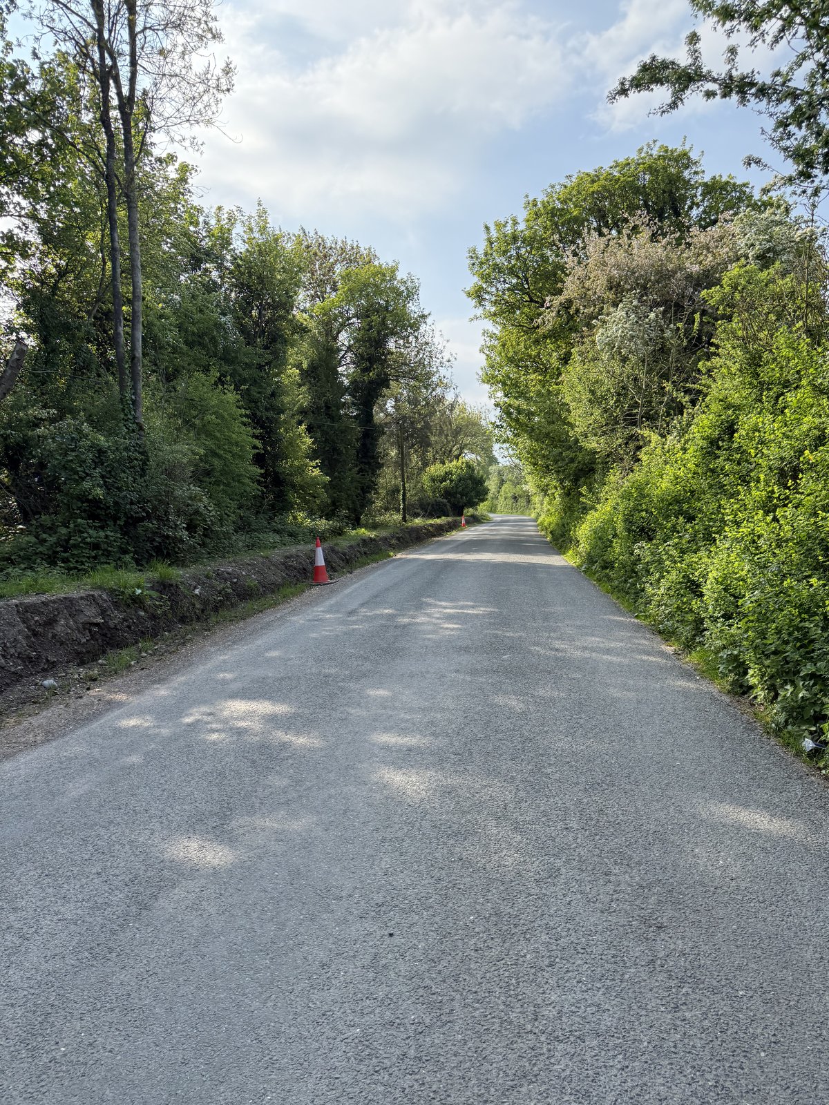
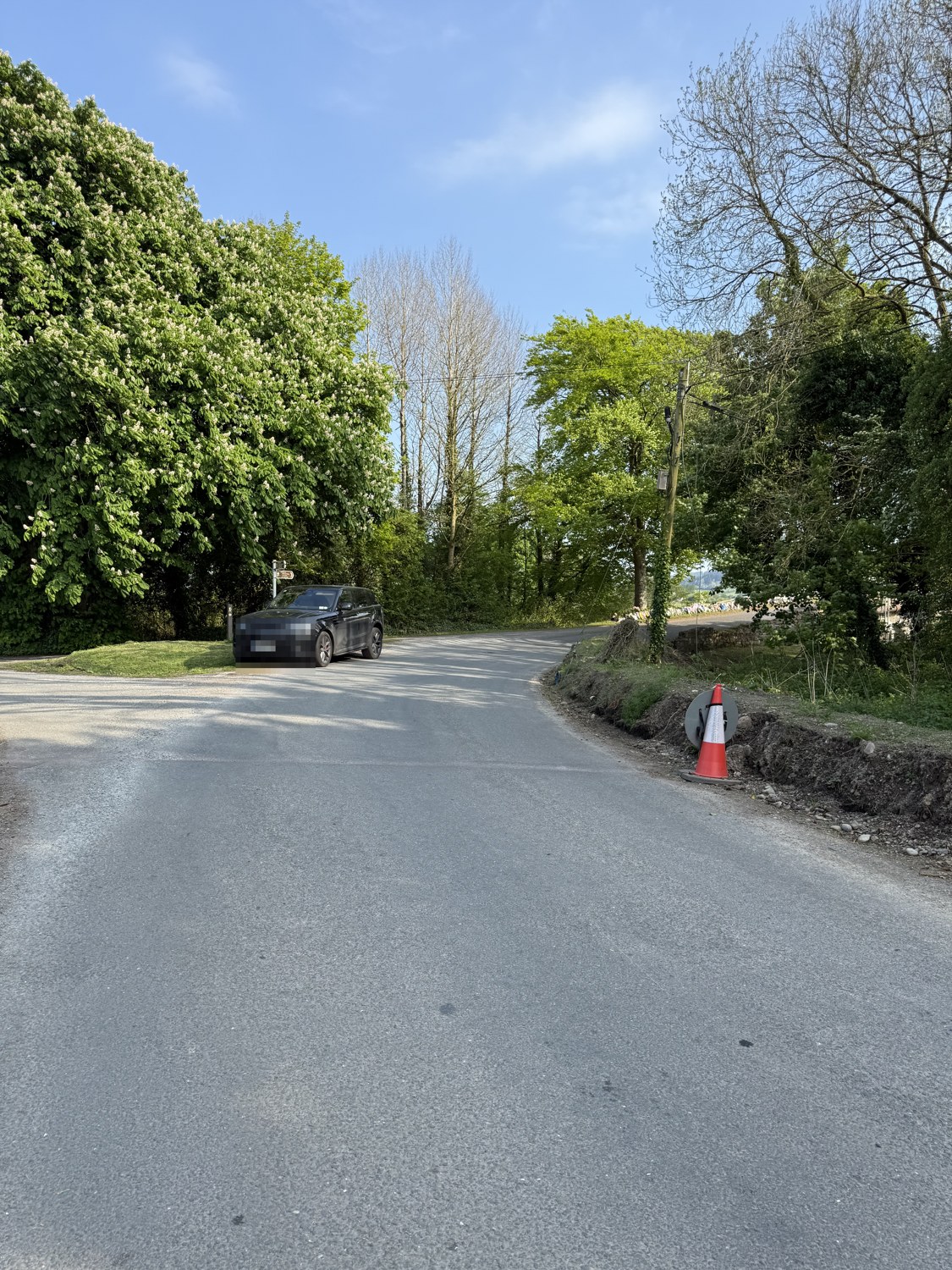
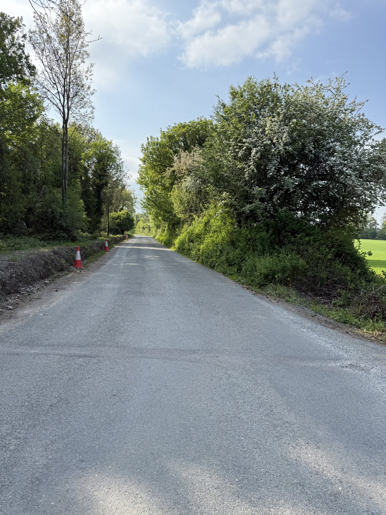
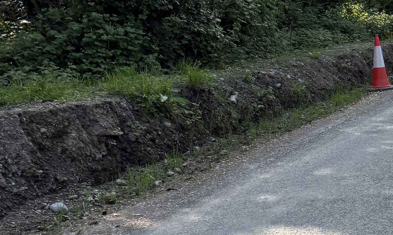
Mike identifies the worked stretch as continuing to the bridge on the right-hand side when approaching it in Bronagh’s direction of travel. His account is that this was an active council work site without barriers, working warning signs or illuminated cones. This is the family’s identification of the extent and condition of the works; the dated works and traffic-management records are needed to establish those arrangements for the night itself.
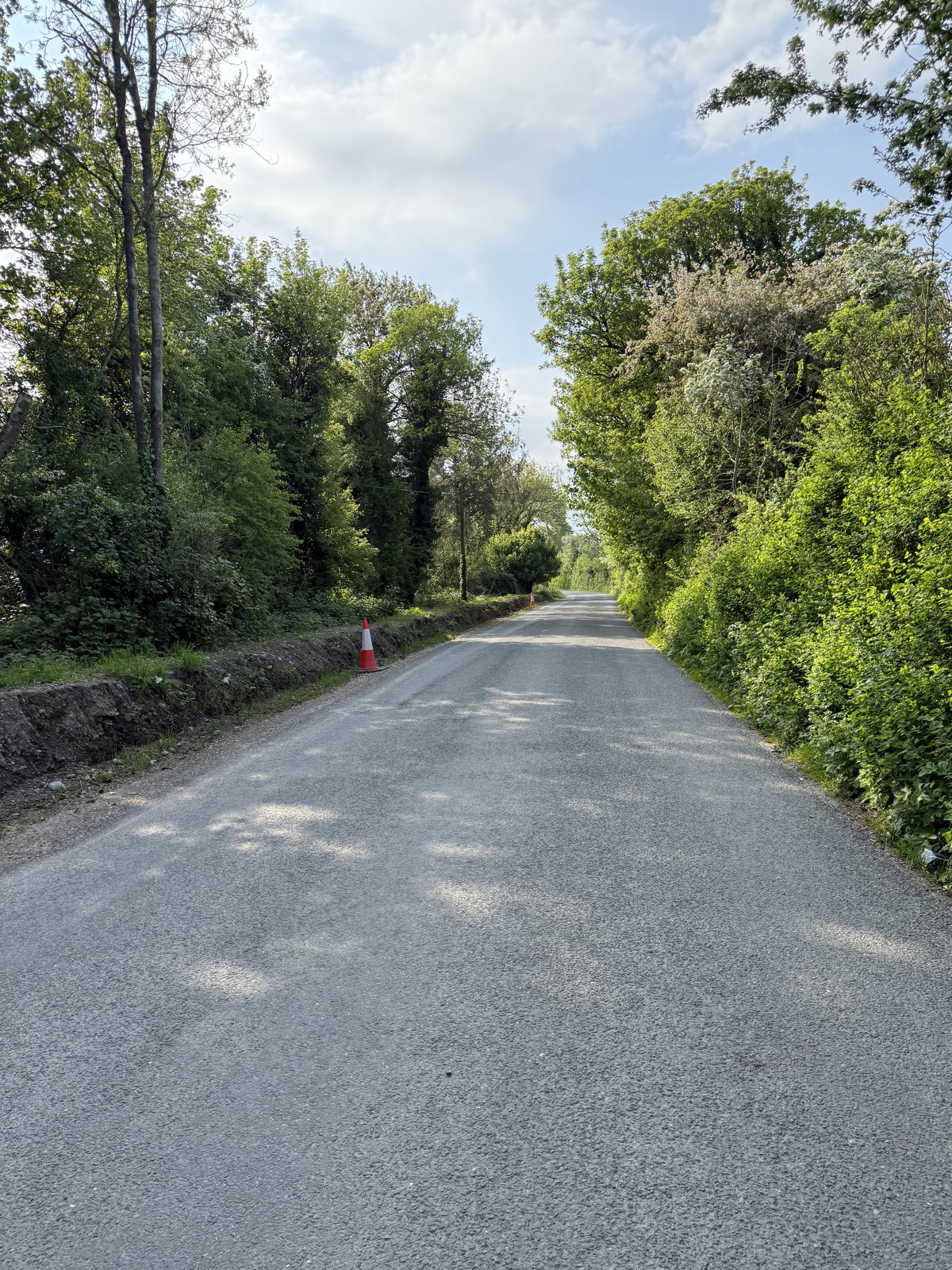
The council’s written position must also be clear. Its internal review of 18 February 2026 describes roadside verge-inlet cleaning on the L3151, no specific drainage works on the bridge itself, and programmed 2025 roadworks northwest of the bridge. That answer does not settle the family’s question about the full photographed stretch, the date of each operation or the arrangement left overnight. A separate programme reference for the L31011-0 cul-de-sac must not be treated as proof of work on the bridge approach. [5]
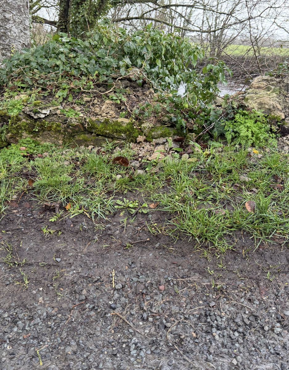
Rain can detach exposed soil and runoff can transport it. If there was a connecting route to the carriageway, sediment delivery is a mechanism requiring investigation. But colour alone does not prove clay content, and later photographs do not establish a deposit in Bronagh’s wheel path. The detailed loose-soil-bank explainer sets out the process, controls and evidence needed.
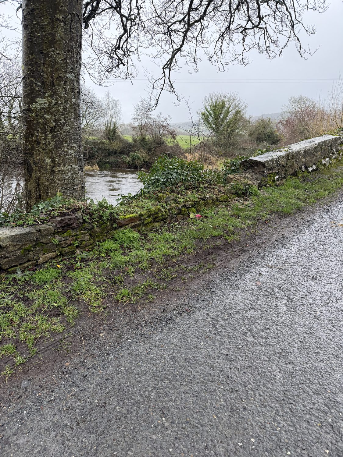
The bank question sits alongside, rather than replacing, the existing engineering record on the bend, warnings and parapet. Denis Wood Associates’ report of 25 July 2025 considers wet-road bend conditions using assumed grip (p6), supports warning provision (p10) and discusses the damaged wall (p7). It expressly excludes investigation of incident causation (p2). It is not cited here as a finding that clay from this bank caused the collision. Read the existing engineering and bridge record.
What the council should have ensured at the works described
Road users need a safe route past works—including when the workforce has gone home. The proper test is not whether a few cones appear in a later photograph. It is whether the actual hazards were assessed, appropriate safeguards were in place, and those arrangements remained effective in darkness and changing weather. Irish guidance addresses those issues explicitly. [7]
1. Assess the whole approach, not just the machine’s working position
The plan should identify the full affected stretch, how traffic passes it, and who coordinates the safeguards. HSA guidance addresses supervision across the full extent of works. For the stretch Mike identifies, the assessment needs to account for the right-hand bank and drainage continuing towards the bend and bridge—not stop at an arbitrary point before them. Request the dated plan and the responsible roles. [8]
2. Give useful warning before a driver reaches the hazard
HSA guidance calls for advance warning; Chapter 8 calls for a drive-through or visual check of the installed arrangement. The question is what a driver approaching this bend would actually see, and in time to do what. A permanent junction-control sign does not demonstrate that temporary roadworks warnings existed. Request the sign layout, placement dates and inspection record. [8] [9]
3. Assess the open drain and edge for real protection
An open channel beside traffic needs assessment of its position, depth and exposure. Regulation 97’s guarding duty is circumstance-dependent; Regulation 55 also addresses specified accessible excavations, with conditions and exceptions. Neither is a blanket rule that every roadside ditch must have the same barrier. [6]
Cones are not vehicle restraint. Chapter 8 distinguishes guidance/delineation barriers from systems designed to restrain an errant vehicle. Ask what protection was selected for the actual risk along this edge, including the transition towards the bridge, and why. [9]
4. Make the arrangement effective at night
Chapter 8 recommends amber steady lamps, or permitted lamp/rotating-reflector combinations, at intervals along cone lines in unlit areas; rotating reflectors are not permitted on lead-in tapers. This is not a requirement for a lamp on every cone. The relevant evidence is the lighting plan, ambient conditions and actual visibility and condition of the equipment left that evening. [9]
5. Respond to rain, mud and changing conditions
Chapter 8 addresses cleaning construction mud from road surfaces and warning equipment. Operations guidance recommends more frequent inspections in bad weather and highlights overnight and weekend checks. For this bank, ask how runoff and sediment were controlled, what checks occurred before the collision, and what cleaning or corrective action followed—not simply whether a drainage operation had been undertaken. [9] [7]
6. Leave an unattended site safe, not merely empty
The operations guidance calls for hazards to be removed or secured, the works area reduced and made stable, pedestrian exclusion, and continued maintenance of temporary traffic management at unattended works. It recommends recording or photographing the arrangement before leaving. The absence of workers is not the same as the absence of an unfinished hazard. Request the overnight arrangement for 24 April. [7]
7. Check the surface before removing the protection
Before temporary traffic management is removed, the guidance says construction should be complete and the surface suitable for the traffic using it. That makes the completion and reopening checks important: what remained beside the carriageway, was the route safe to use, and who checked? A programme entry or a statement that work had taken place is not that performance record. [7]
These are concrete safety questions, not a finding that a particular person committed an offence. The guidance identifies what an adequate arrangement should address. The works records and contemporaneous evidence must establish what applied here and what was actually provided.
The questions that need documentary answers
- What was the precise extent of the works along the right-hand approach to the bridge, and on what dates was each part disturbed, drained, compacted or reinstated?
- Who was responsible as client, contractor and traffic-management supervisor, and what site-specific assessment covered the bend, bank, open drainage and bridge edge?
- What signs, guarding, lighting and overnight arrangements were actually installed before 22:00 on 24 April?
- What inspections, rainfall-related checks, cleaning or corrective actions were recorded before the collision?
- What contemporaneous evidence establishes whether water or sediment from the bank reached the traffic surface?
The case for examining this bank does not depend on pretending we witnessed the night. There are measurements to inspect, a recognised physical mechanism to assess, later photographs to locate and date, and work-site records that should explain the safety arrangements. Each has a different evidential role. Together they define the investigation needed; they do not, by themselves, determine causation or guilt.
Sources, data and method
- Garda collision appeal, issued 25 April 2025. Its headline identifies Thursday 24 April; the body contains a conflicting date. This analysis follows the headline and the date of that Thursday, not the body’s typographical error. No precise collision minute is asserted.
- Met Éireann historical daily files: Cahir (Toureen), station 9312; Cahir (Vocational School), 4612; Bansha (Aherlow W.W.), 5012. All displayed daily observations have rainfall indicator 0, satisfactory.
- Met Éireann: daily rainfall key and rainfall observation periods.
- Met Éireann: Moore Park hourly extract, station 575; April 2025 minute observations ZIP; hourly key. Displayed hourly rainfall indicators are 0, satisfactory. Gurteen was also checked as a farther comparison; Shannon’s differing indicator code was not treated as equivalent without a verified decode.
- Council internal review, 18 February 2026: existing public extract. Road-number distinction checked against the council’s separate 2026 FOI decision. No private correspondence or expert report is newly released with this article.
- S.I. 291/2013, Construction Regulations, Regulation 97, pp64–65; Regulation 55, p46. The amendment register and S.I. 129/2019, 102/2020 and 528/2021 were checked: those amendments do not change the cited regulations’ text. Duty-holder and application conditions remain important.
- Temporary Traffic Management Operations Guidance, Part 0, first edition August 2019: §§0.2.3.2, 0.3.2.6, 0.3.6.2 and 0.3.6.5 (pp0-32, 0-47, 0-54, 0-56). Operational guidance; recommendations are not automatically standalone statutory offences.
- HSA, Guidelines for Working on Roads, updated November 2014, pp10–11 and 14: warning, coordination and continued checks.
- Traffic Signs Manual, Chapter 8, August 2019: §§8.1.8.5, 8.1.9.1, 8.3.8.3–7 and 8.3.9 (pp8/10–11, 8/61–63). The source distinguishes requirements, recommendations and options. The 2025 upload directories are not the edition dates; the Department’s manual page, updated 12 February 2025, also identifies the supporting Chapter 8 guidance.
Station selection: the official Met Éireann station catalogue was checked for nearby stations with records covering April 2025. Closed stations were not substituted. Distances are approximate straight-line distances from the NIAH bridge location, record 22207506, using the published Irish Grid coordinates converted to WGS84 and the coordinates in each weather file. They are not driving distances or an assessment of meteorological representativeness.
Download the displayed observations (CSV) · Calculation method and displayed data (JSON). Retrieved 5 September 2026. UTC converted using Europe/Dublin; original dates, indicators and source files are retained. The antecedent total and distances are this site’s calculations.
Weather data: Copyright Met Éireann. Source: www.met.ie. This data is published under a Creative Commons Attribution 4.0 International (CC BY 4.0) licence. Met Éireann does not accept any liability whatsoever for any error or omission in the data, their availability, or for any loss or damage arising from their use. See Met Éireann open-data terms. This material has been modified through extraction, aggregation, presentation and local-time conversion by the Bronagh English record. It is not an endorsement or site-specific report by Met Éireann.
This is a public evidence analysis, not a forensic reconstruction, legal determination or finding of fault. The physical mechanisms, measured weather, family account and unresolved site-specific questions are distinguished throughout.
From the Blog
Roadworks, the bank and the open-drain question
Article
The bend, the warnings and the bridge wall
Article
The engineering record and the council’s response
Article
2023: Tipperary’s highest county death count
Article
The 80-to-60 motion: what the council requested
Article
Cahir–Cashel: questions, requests and decisions
Article
Councillor payments and expenses: follow the figures
Article
Rain, loose soil and the road edge
Article
Video Explainers
The 80-to-60 motion
Video Explainer
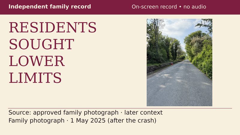
Local requests for lower limits
Video Explainer
Tipperary’s 2023 county count
Video Explainer
Which roads changed to 60?
Video Explainer
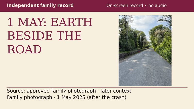
What the 1 May photograph shows
Video Explainer
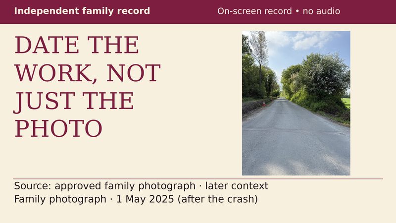
Which documents date the works?
Video Explainer
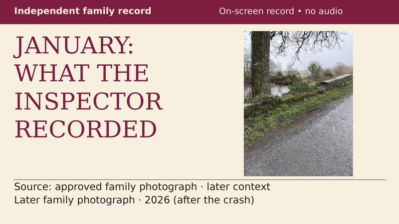
What the January inspector recorded
Video Explainer
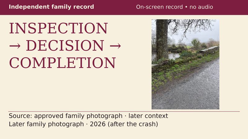
From inspection to completion
Video Explainer
South Tipperary and West Waterford road-safety comparison, 2018–2023
Video Explainer
South Tipperary and West Waterford road safety, 2018–2023 — 1 January 2018–31 December 2023 (six complete calendar years). On a fixed resident-population…